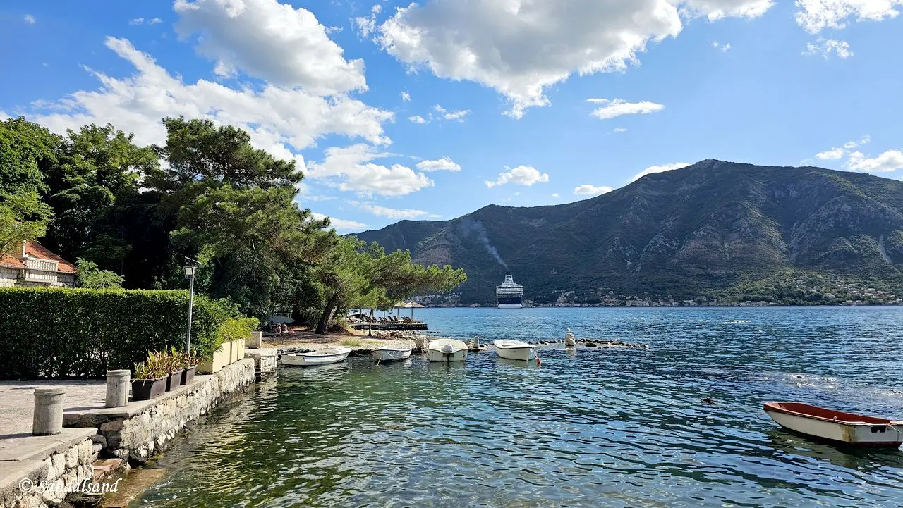
This is a collection of pictures from Montenegro. They are from different parts – the Adriatic coastline and the mountains in the northeast.
If you look up all articles from Montenegro, you will also find videos, world heritage sites and a regular travelogue. Before you do, start with these pictures from Montenegro.
Find images from Montenegro's coastline, in particular the wonderful Kotor Bay area. In addition there are images from the mountainous interior, including Durmitor.
150 Photos
Afterwards, find more photo galleries on Sandalsand.
Fast facts
Montenegro is a small country in the Balkans, covering around 13,800 square kilometers. It borders the Adriatic Sea and shares land borders with Croatia, Bosnia and Herzegovina, Serbia, Kosovo, and Albania. The name “Montenegro” means “Black Mountain,” a reference to the forested slopes of Mount Lovćen.
Slavic tribes settled the region in the 7th century, gradually forming their own identity and local governance. Throughout the Middle Ages, Montenegro was ruled by a series of noble families and ecclesiastical leaders. The region’s mountainous landscape helped preserve its independence, even as surrounding areas fell under Ottoman control.
Montenegro retained autonomy for centuries, despite pressure from powerful empires. The country was recognized as a principality in 1878 and became a kingdom in 1910. After World War I, it was absorbed into the Kingdom of Serbs, Croats, and Slovenes, later known as Yugoslavia.
During the breakup of Yugoslavia in the 1990s, Montenegro stayed in a union with Serbia. This lasted until a 2006 referendum, when a majority of citizens voted for independence. Since then, Montenegro has been a sovereign republic with a multi-party parliamentary system.
Today, Montenegro has a population of about 600,000 people. It is not a member of the European Union, but it uses the euro as its currency. The economy depends heavily on tourism, services, and energy.
Visitors are drawn to the country’s natural beauty and cultural heritage. The Bay of Kotor, a UNESCO World Heritage Site, offers fjord-like scenery and historic architecture. Inland, national parks such as Durmitor and Biogradska Gora provide hiking, rafting, and skiing opportunities.
Montenegro’s culture reflects its complex past. Influences from Orthodox, Catholic, and Islamic traditions are visible in its churches, mosques, and festivals. This mix makes Montenegro a fascinating and welcoming destination in southeastern Europe.
Learn about the country on Wikipedia.
Map and regions
Montenegro is divided into 21 municipalities, which can be grouped into five regions (source):
Bay of Kotor (orange colour): This bay is considered one of the most beautiful bays of Europe, and in its entirety is a UNESCO World Heritage Site. It includes the towns of Perast and Kotor, as well as other typically Mediterranean towns.
Budva Riviera (yellow): The main tourist drag with nice beaches, historic villages and wild nightlife.
Central Montenegro (blue): This is the heart of the country with the state capital Podgorica, the historical capital Cetinje and the industrial center Nikšić. It is also home to natural beauty, such as Skadar Lake National Park and Lovćen National Park.
Montenegrin South Coast (purple): The Mediterranean coast around the towns of Bar and Ulcinj, the latter one having an Albanian majority.
North Montenegrin Mountains (light green): This region lies entirely within the Dinaric Alps, famous for its untouched wild nature. A must-see is the Tara River Canyon in Durmitor National Park. Žabljak is Montenegro’s winter sports capital.
Sandalsand’s images are from a road trip into most regions, except in the southwest (purple).


