Intro
States
Photos
Blog
Facts
Overall impressions
This is a photo of a young lady in the Royal Palace of Phnom Penh, Cambodia. I was wandering around looking up on the wonderful gables or something when she came up the stairs, stopped and took up position right in front of me.
With a big smile on her face, she was clearly ready for a picture. She spoke no English. Apparently her job was to welcome tourists to the marvellous palace area. The famous smiles of Southeast Asia have almost always been earnest, is my experience.
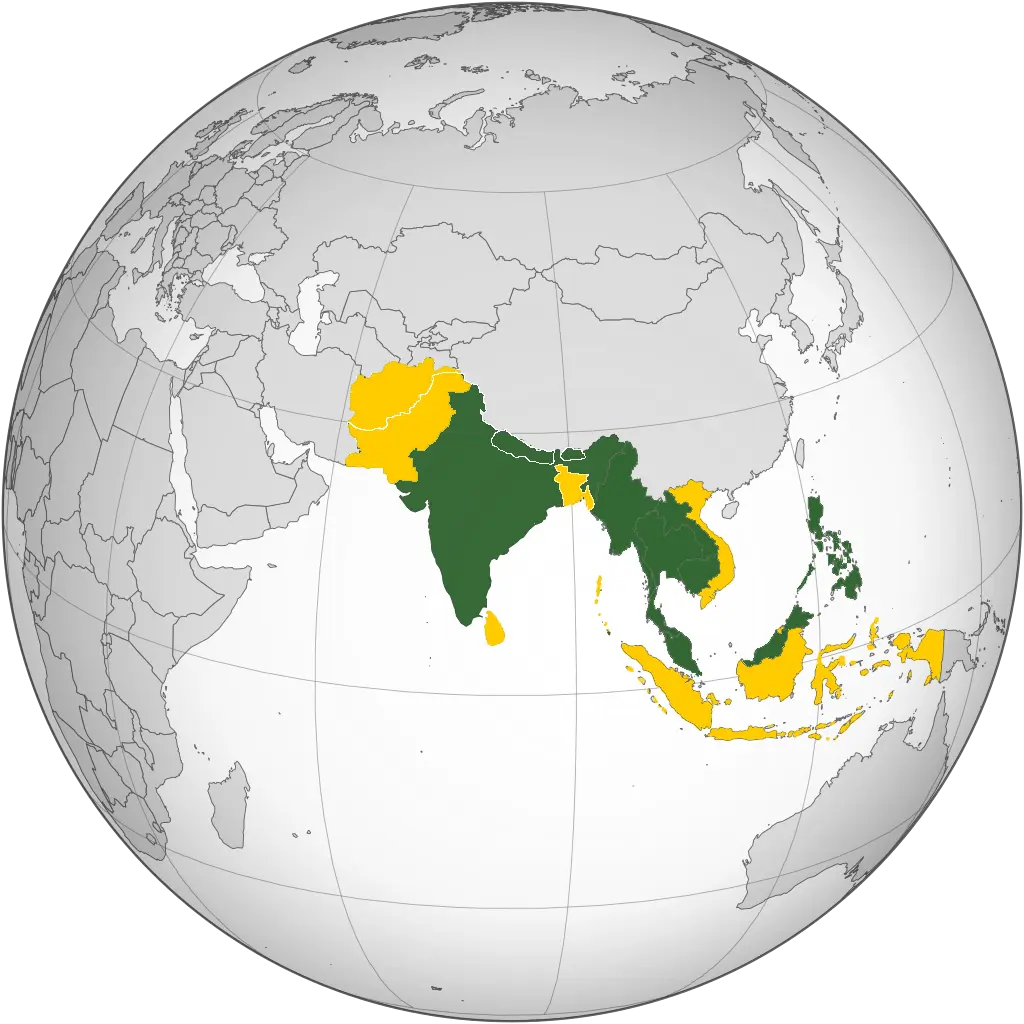
In South Asia I have been to three of eight independent countries, in Southeast Asia to seven of 11, in total 10 of 19.
Click a country name in the list above and find all articles from that particular country. On the map, the yellow coloured countries are Sandalsand’s nine non-visited countries.
Photo galleries
Open the box to view Sandalsand’s galleries from this region.
Click to show or hide
For the best experience, open a picture gallery in a new tab or window.
Posts from South and Southeast Asia
Pictures from India
This is a collection of pictures from India, the result of a trip in 2017 to Delhi, Jaipur and Agra - the Golden Triangle. Have a look at all India...
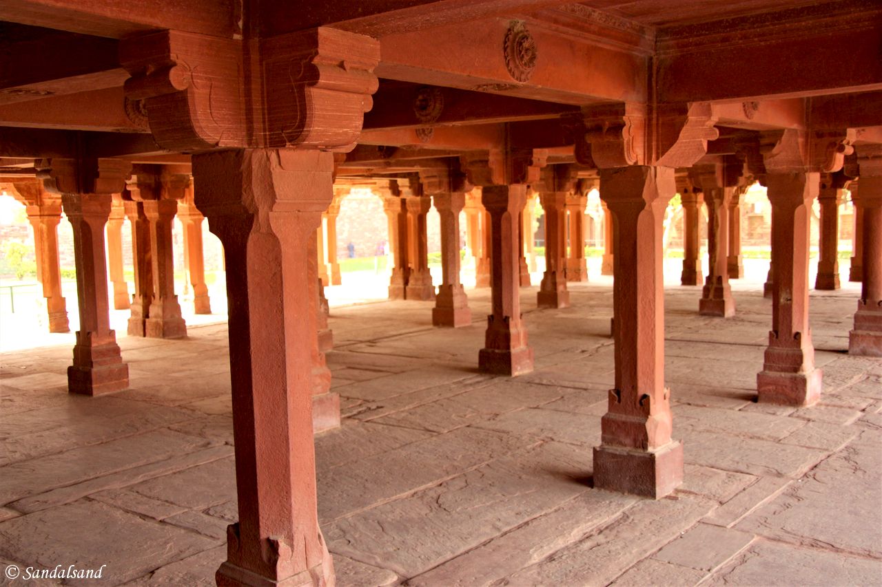
There is more to Agra than the Taj
There are many sights in Agra. The Taj Mahal, the famous mausoleum, is the main reason millions of people each year travel to Agra. It is truly...
World Heritage #0251 – Agra Fort
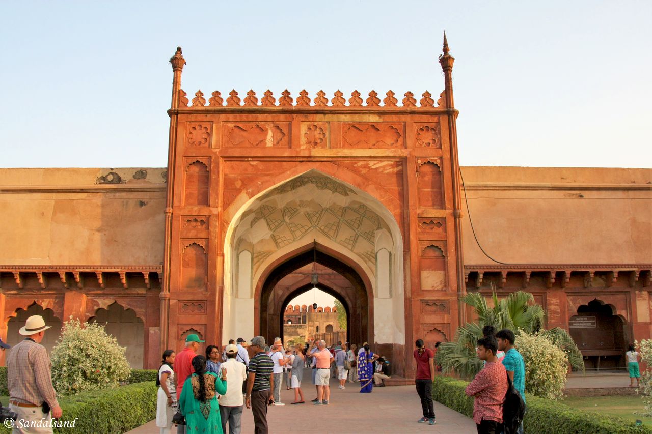
Judging by the entrance visitors usually are led through, the monumental Amar Singh Gate, the Agra Fort is undoubtedly a fortress. It even has a...
World Heritage #0252 – Taj Mahal
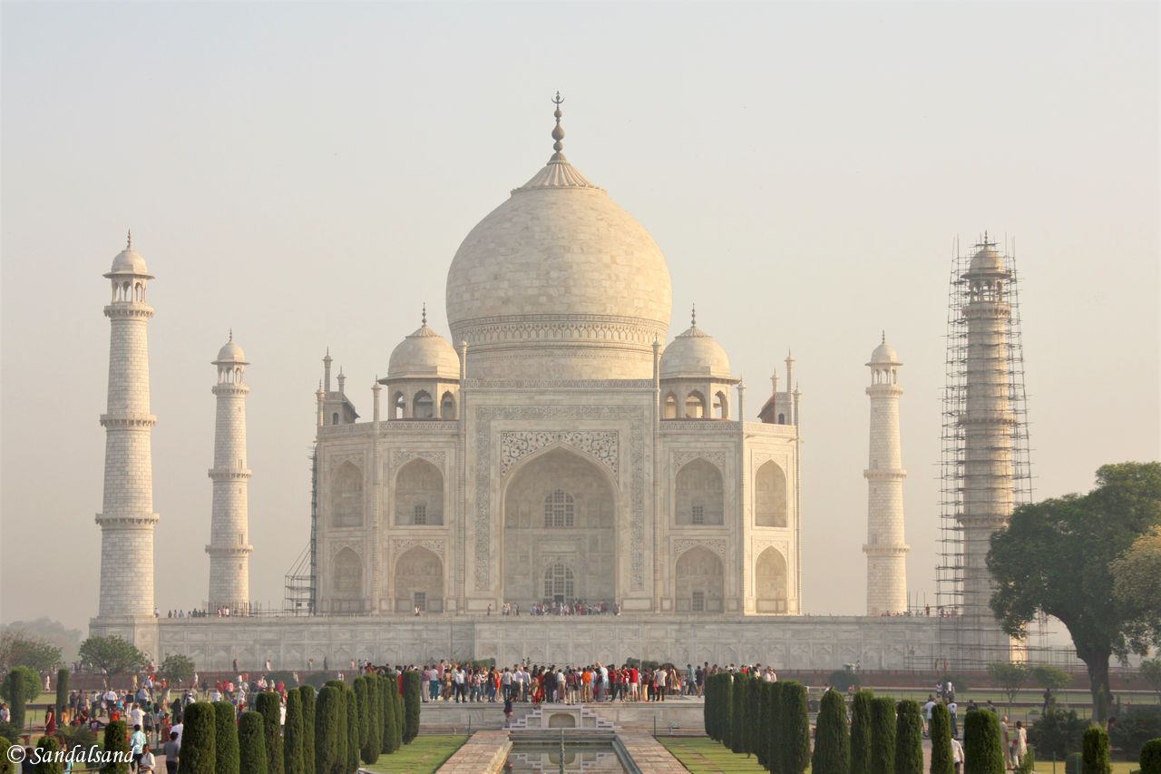
Built as a monument to the undying love and affection the emperor Shah Jahan had for his second wife, the Taj Mahal is one of the world's most...
In and around Jaipur in 36 hours
Read about the sights in Jaipur, the capital of Rajasthan. This was my second stop on the Golden Triangle of India, the extremely popular tour for...
World Heritage #0255 – Fatehpur Sikri
Imagine what the Mughal emperors of India did at Fatehpur Sikri. They spent 15 years planning and building a brand new capital, only to abandon it...
World Heritage #1605 – Jaipur City, Rajasthan
Jaipur City is unlike other medieval cities of the region. It was deliberately planned as a new city on the plains. Jaipur was meant to be open for...
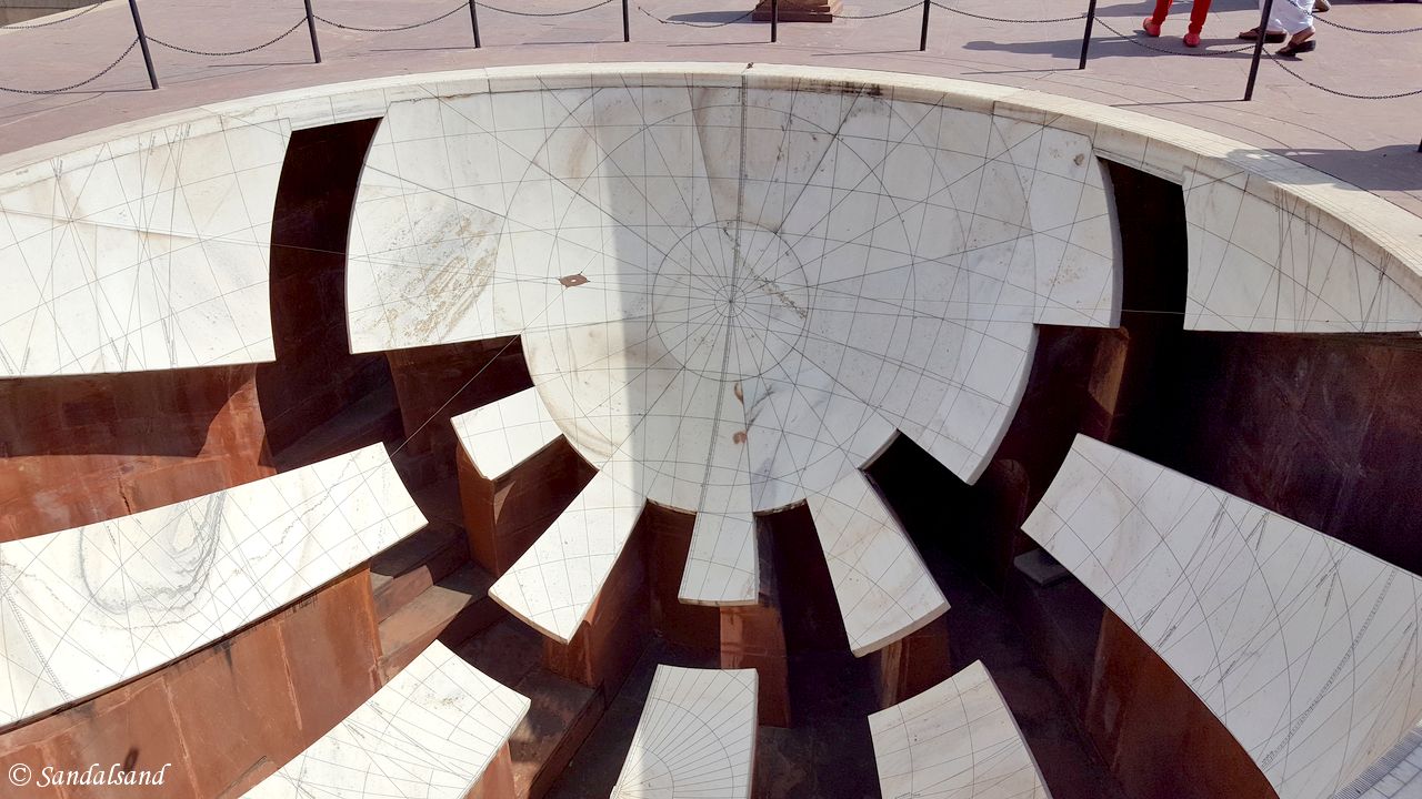
World Heritage #1338 – The Jantar Mantar
The astronomical instruments at Jantar Mantar are impressive due to their 300 years of age. They are also very accurate in showing time and the...
World Heritage #0247 – Hill Forts of Rajasthan
The hill forts of Rajasthan are preserved manifestations of the immense powers held by the maharajahs of the Rajput kingdoms from the 8th to the...
Old and New Delhi in 24 hours
How to do and what to see in Old and New Delhi in 24 hours? Delhi, the capital of India, is one of the world's most populous urbanised areas as well...
World Heritage #0233 – Qutb Minar
The tallest brick minaret in the world, the Qutb Minar, was built as a victory tower after 1192. It was developed during the next centuries until it...
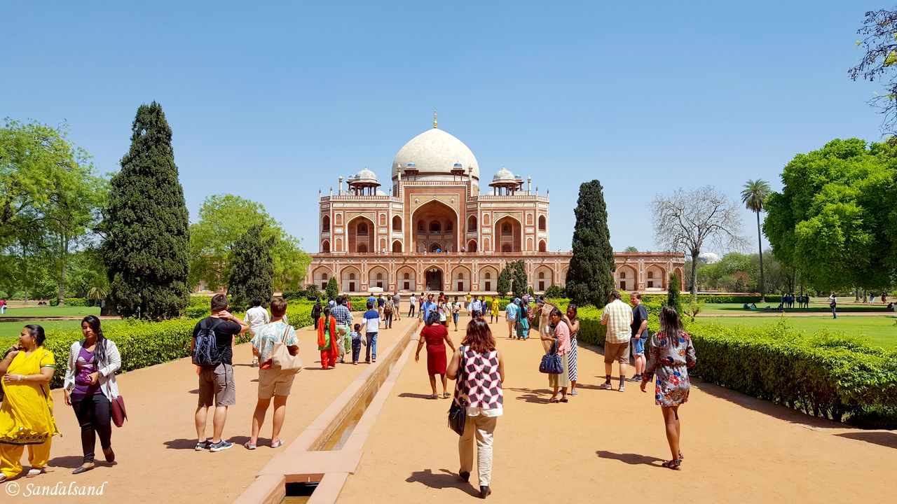
World Heritage #0232 – Humayun’s Tomb, Delhi
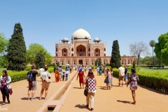
There are several important structures within this large complex in Delhi, but none as impressive as Humayun's Tomb. He was the second emperor of...
Introducing the Golden Triangle of India
The Golden Triangle of India is a very popular introduction to India for first-timers. India is so large and varied that figuring out where to go...
Visiting Bhutan and Nepal after the 2015 earthquake
This writer recently returned home after fourteen days in Bhutan and Nepal. It was a most remarkable trip into two rather remote countries in the...
Pictures from Nepal
This is a collection of pictures from Nepal, the result of a trip in 2015 around the central and southern part of the country. Find all Nepal...
World Heritage #0121 – Kathmandu Valley
The magnificent religious monuments in the Kathmandu Valley have withstood centuries of storms, wars and earthquakes. The UNESCO World...
World Heritage #0284 – Chitwan National Park
Nepal is so varied. From the highest and most barren mountains in the world, to the low-lying, wet and humid jungles - like the Chitwan National...
Jungle life in Chitwan, Nepal
Croc, hippo and rhino spotting, elephant rides, canoe paddling, and jungle hikes. These are the ingredients in this account of a Chitwan visit....
The beautiful town of Bhaktapur, Nepal
It is said that Bhaktapur has the best preserved palace courtyards and old city centre in Nepal. In combination with the medieval style alleys and...
The former city-state of Patan, now Nepal
Once an independent city-state to the east of Kathmandu, Patan has now more or less become a suburb. Conveniently located just a short drive away...
Kathmandu’s historic districts and temples
Here you get to know Kathmandu’s historic districts and temples. The ancient centre of Kathmandu has several important temples and also the old...
Kathmandu’s Thamel district and the Garden of Dreams
The Thamel district and the Garden of Dreams, and the Indra Chowk are attractions in Kathmandu of a very different nature. The Thamel district has...
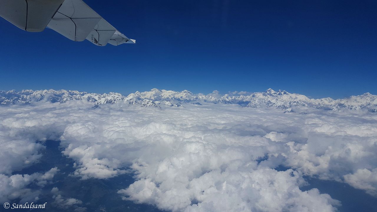
Inflight views of the Himalaya mountain range
The Himalaya mountain range is awesome. The high peaks of the Himalayas almost seem to be level with an airplane cruising at 30,000 feet. At this...
Pictures from Bhutan
This is a collection of pictures from Bhutan, the result of a road trip in 2015 around parts of the country. Find all Bhutan entries on this...
Poverty with dignity is better than wealth based on shame. (Buddhist saying)
A fact sheet
The Indian Ocean is to the south and on land (clockwise, from west) West Asia, Central Asia, East Asia, and Southeast Asia. This is Wikipedia’s introduction to this region (or regions).
South Asia
Map and numbers
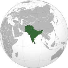
- Area: 5.2 million km2
- Countries: Afghanistan, Bangladesh, Bhutan, India, Maldives, Nepal, Pakistan, as well as Sri Lanka.
- Population: 1.749 billion (2013)
- Nominal GDP: $3.12 trillion
- PPP GDP: $11.67 trillion
Geography
South Asia covers about 5.2 million km2, which is 11.71% of the Asian continent or 3.5% of the world’s land surface area.
South Asia or Southern Asia (also known as the Indian subcontinent) is a term used to represent the southern region of the Asian continent. On the whole, it comprises the sub-Himalayan SAARC countries and, for some authorities, adjoining countries to the west and east. Topographically, it is dominated by the Indian Plate, which rises above sea level as Nepal and northern parts of India situated south of the Himalayas and the Hindu Kush. The Indian Ocean is to the south and on land (clockwise, from west) West Asia, Central Asia, East Asia, and Southeast Asia.
The South Asian Association for Regional Cooperation (SAARC) is an economic cooperation organisation in the region. It was established in 1985 and includes all eight nations comprising South Asia.
Population
The population of South Asia is about 1.749 billion or about one fourth of the world’s population, making it both the most populous and the most densely populated geographical region in the world. Overall, it accounts for about 39.49% of Asia’s population, over 24% of the world’s population, and is home to a vast array of peoples.
In 2010, South Asia had the world’s largest population of Hindus, Jains and Sikhs. It also has the largest population of Muslims in the Asia-Pacific region, as well as over 35 million Christians and 25 million Buddhists.
Source
Southeast Asia
Map and numbers
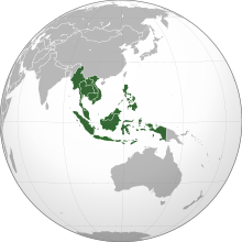
- Region: Southeast Asia
- Area: 4,545,792 km2
- Population: 641,775,797
- Population density: 135.6/km2
- Nominal GDP: $2.557 trillion
- PPP GDP: $7.6 trillion
- GDP per capita: $4,018
- HDI: 0.684
- Demonym: Southeast Asian
- Countries: 11 states
- Dependencies: Christmas Island, Cocos (Keeling) Islands
Geography
Overall, Southeast Asia or Southeastern Asia is a subregion of Asia. It consists of countries that are geographically south of China, east of India, west of New Guinea and north of Australia. Southeast Asia is bordered to the north by East Asia, to the west by South Asia and Bay of Bengal, to the east by Oceania and Pacific Ocean, and to the south by Australia and Indian Ocean. The region is the only part of Asia that lies partly within the Southern Hemisphere, although the majority of it is in the Northern Hemisphere. Summing up, Southeast Asia consists of two geographic regions:
1. Mainland Southeast Asia, also known historically as Indochina, comprises Vietnam, Laos, Cambodia, Thailand, Myanmar, and West Malaysia.
2. Maritime Southeast Asia, is also known historically as the East Indies and Malay Archipelago. Specifically it comprises Indonesia, East Malaysia, Singapore, Philippines, East Timor, Brunei, Christmas Island, the Andaman and Nicobar Islands of India, and the Cocos (Keeling) Islands. Taiwan is also included by many anthropologists.
More
Otherwise, the region lies near the intersection of geological plates, with heavy seismic and volcanic activities. The Sunda Plate is the main plate of the region, features almost all Southeast Asian countries except Myanmar, northern Thailand, northern Vietnam, and northern Luzon of the Philippines. The mountain ranges in Myanmar, Thailand, and peninsular Malaysia are part of the Alpide belt. Further the islands of the Philippines are part of the Pacific Ring of Fire. Both seismic belts meet in Indonesia, causing the region to have relatively high occurrences of earthquakes and volcanic eruptions.
Overall, Southeast Asia covers about 4.5 million km2, which is 10.5% of Asia or 3% of earth’s total land area. Its total population is more than 641 million, about 8.5% of world’s population. It is the third most populous geographical region in the world after South Asia and East Asia. The region is also culturally and ethnically diverse, with hundreds of languages spoken by different ethnic groups. Ten countries in the region are members of ASEAN. This is a regional organisation established for economic, political, military, educational and cultural integration amongst its members.
Source
Wikipedia with some alterations. Both descriptions are on a Creative Commons Attribution-ShareAlike License. Date: 2018-06-22
