The Fergana valley is one of the world’s most fertile valleys and always has been. In addition Stalin drew a map making it one of the most complex ever seen.
This is part of a series of articles from a journey to the Central Asian republics of Uzbekistan and Kyrgyzstan in June 2014.
About the valley
On our journey along the Silk Road we had finally come to the point where we would turn east towards China but stop short of it, in Kyrgyzstan. This article covers the leg from Tashkent in Uzbekistan to Urgench in Kyrgyzstan.
The legacy of Stalin
Joseph Stalin, the ruler of the Soviet Union during the mid-1900s, knew how to rule the unruly southern part of his empire. In addition to moving in a lot of ethnically Russian people, and transferring other nationalities here and there, he set about drawing administrative boundaries of a bizarre character.
In the Fergana Valley, always a very fertile and populous area, he made the map illustrated below.
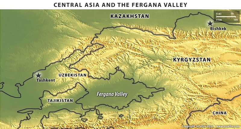
The Fergana Valley (Source: Stratfor)
Kyrgyzstan engulfs most of the valley, in the north, east and south, but mostly the mountainous parts. In addition Tajikistan was allowed a tongue into it and Uzbekistan actually covers most of the lowlands.
The enclaves
What sticks out most is however the Uzbek enclaves inside Kyrgyz territory to the south. You see those small blue circles on the lower part of the map? They belong to Uzbekistan.
In fact Kyrgyzstan also has one enclave on Uzbek territory. There are four Uzbek enclaves and two Tajik enclaves within Kyrgyzstan. How are they able to survive and why? I have no answer to the first question. As to the second it is all a matter of balancing the powers in the region.
Uzbekistan is the country with the largest agricultural production. However, if you own the mountains, you control the rivers and sources of irrigation. What happens if Kyrgyzstan set up an intricate system of dams? And what about the country to the south, Tajikistan? It has a bit of both parts: flat land and mountains.
Divide and rule
“Fight between yourselves, but do not fight Moscow!” That’s called geopolitics and is very much an issue in this part of the world.
This is where we were heading, the morning we left our hotel in Tashkent, the capital of Uzbekistan.
The Kamchik Pass
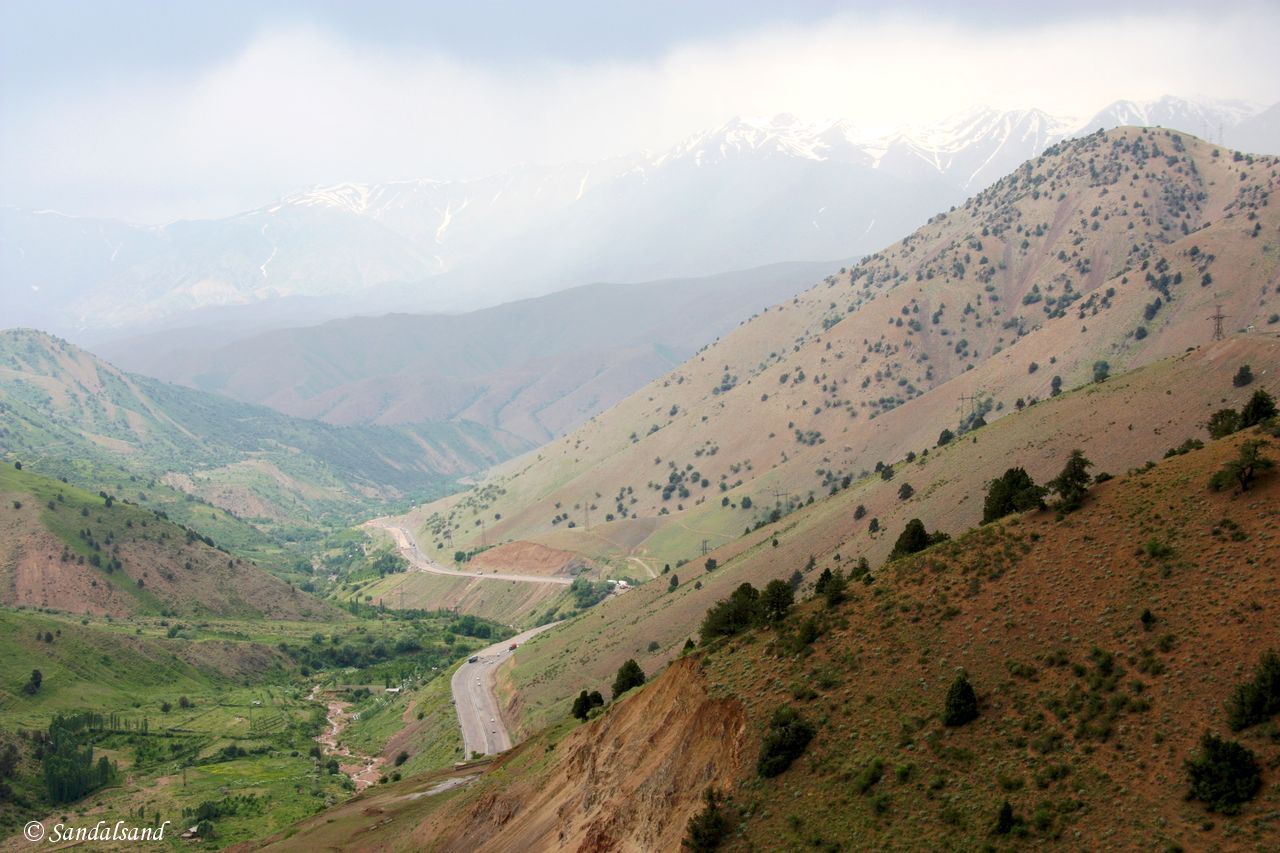
Kamchik Pass
A new road
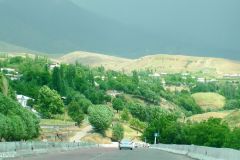
The road from Tashkent south and east towards Fergana is very good. It starts on a large flat plain, turning east into a narrow valley and finally it starts to climb. High.
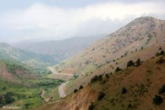
The Kamchic Pass reaches an altitude of more than 2,000m and the viewpoint near the top provides a great view of the surrounding mountains and valley down below. This is actually the only road connecting the Uzbek part of the Fergana valley with the rest of the country.
And railway too
On the way, we noticed that a brand new railway was under construction. It was “Made in China” (so to speak), at least built and financed by the Chinese. At the time of our visit there was some disagreement with the Uzbek government, but there is no doubt that a new Silk Road was being built.
I recalled what I encountered in Myanmar (Burma) less than a year before: A number of Chinese trucks and nationals promoting exports, and building infrastructure. The Empire of the Middle is once again on the rise.
That said, there is one car manufacturer which has left its mark on Uzbekistan. Chrysler. A large percentage of private cars in the city streets and country roads are made by Chrysler, assembled at a plant in the Fergana valley.
Islam is returning
Another power is also on the rise in the Central Asian countries, and to some degree it is a religious one. Saudi-Arabia and Qatar are sponsoring the re-islamification of the region by financing new mosques in just about every village. As we know it, the Saudi version of Islam is particularly conservative, or should we say extreme.
The Sharia law in Qatar is not much more liberal. Combined they have been encouraging and training a number of Muslim radicals and terrorist bands in the wider region in the last couple of decades. The Islamification of Central Asia is in addition mixed with the ambitions of the born-again regional powers of the Middle East and Central Asia – Saudi Arabia, Iran and Turkey.
None of them have neglected their military might since the end of the Cold war, unlike the European countries. There is reason for scepticism as to whether the future will be prosperous and peaceful for the peoples of Central Asia.
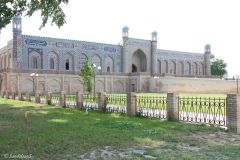
Khudayar Khan Palace in Kokand
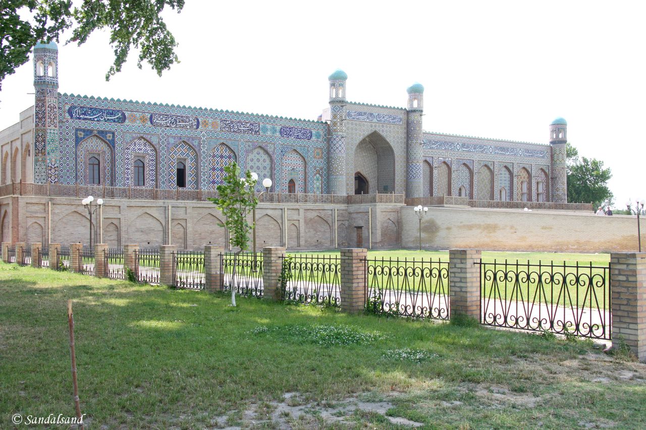
Front of the Khudayar Khan Palace
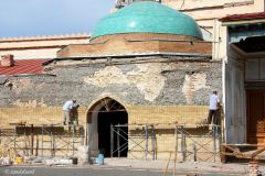
Our first stop was Kokand, a rather uninteresting town with a huge central park and the palace of a former Khan. Here we would eye witness the works of the current Uzbek administration: Rebuilding the past, brick by brick. Nonetheless, it was a fascinating place and a gorgeous façade.
Fergana
The town of Fergana was a boring, modern-like place. Apart from the humans living here there was not much to see. We stayed the night here and nothing more.
The next day we crossed the border into Kyrgyzstan. The Uzbek part was a thorough investigation. Some of our group had to open their luggage, every passport was intensely scrutinized, and when the armed guard finally let us through we were relieved.
On the Kyrgyz side of the border, the immigration officer smilingly waived us past, and that was it. Regular checkpoints and passport controls in Uzbekistan was history, Kyrgyzstan was a relief.
Osh
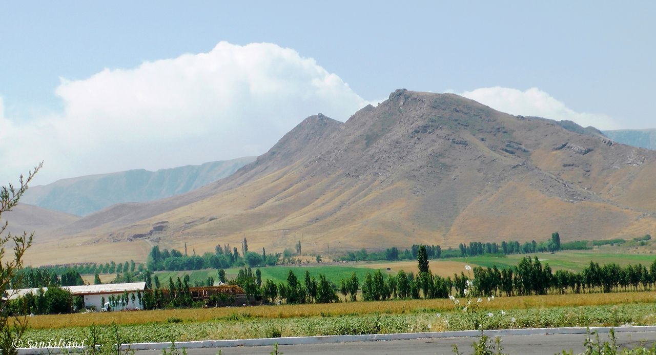
Dry mountains, green valley
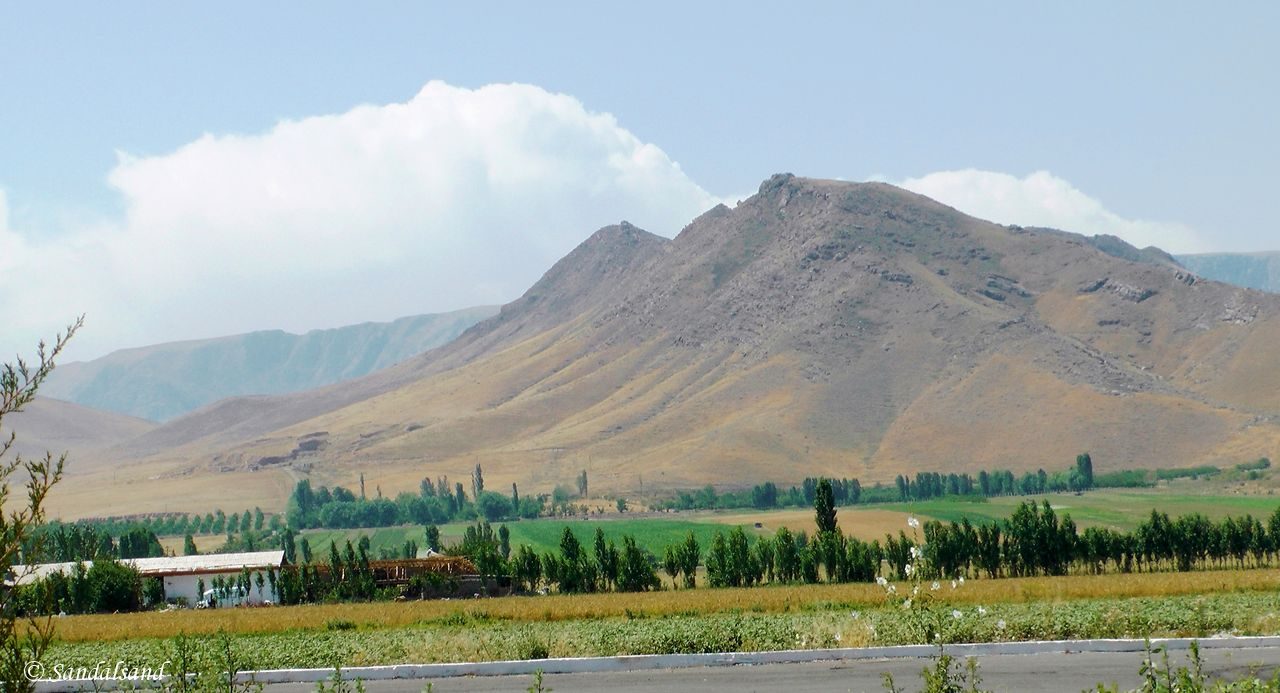
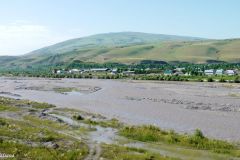
We now continued into the valley of Fergana. It is fertile and it is all agricultural land. In the distance were the mountains providing water for the soil.
Our next stop, the Kyrgyz town of Osh, has a World Heritage Site on its outskirts.
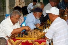
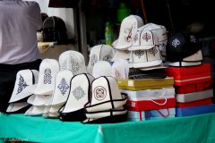
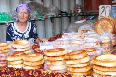
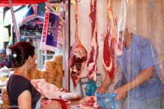
There may be many sights for a visiting foreigner in Osh, but I will most of all remember the park and the market. They are both large, covering a number of blocks, and was filled with local people this afternoon.
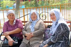
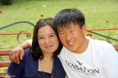
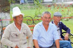
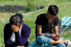
What a great place for people watching! The people were smiling, friendly and had no objections to us taking their photos.
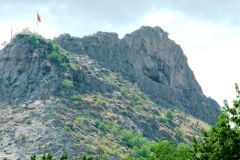
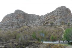
Suleiman Too Mountain
UNESCO has been here too. In fact they have awarded Osh and its mountain a place on their World Heritage List. Why? Read about it here.
Uzgen – Mausoleum of Kharahanids
The next day we left the Fergana valley and headed into the mountain passes of Kyrgyzstan. The country is a mountainous country. As a Norwegian I had recalled that the Norwegian Trekking Association actually has set up a series of mountain lodges and trekking routes here.
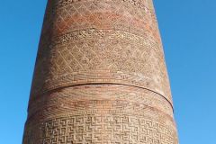
Before we reached the mountains, described in the next chapter, we drove into Uzgen and faced a wonderful 44m high, 11th century minaret. It stands next to a an almost equally ancient mausoleum, built by the the once ruling Karakhanids dynasty.
The map
This is part of a series of articles from a journey to the Central Asian republics of Uzbekistan and Kyrgizstan in June 2014.
On the map below Leg 1 goes from Tashkent (A) west to Khiva (E) in Uzbekistan. Then a flight back to Tashkent (A) before Leg 2 to Bishkek (F) in Kyrgyzstan. This article is the first from Leg 2.
Read more
The chapters:
(1) In search of the ancient Silk Road
(2) The monumentalism of Tashkent
(4) Shakhrisabz and the birth of a nation
(5) The Emir of Bukhara and the lost camels
(6) The magnificent oasis of Khiva
(7) The fertile Fergana Valley
(8) Nomadic life on the mountain passes of Kyrgyzstan
(9) Bishkek and the valley of Ala Archa
In addition we visited five sites on the World Heritage List. The Sulaiman Too Mountain was one of them.
Images from Fergana
Here are some images from the described journey. Click to expand and browse.

