This is about the Vigdel hike, one of many hikes on the coast of Jæren, Norway. The hike on sand and grass is 2.1 km one way.
Orientation
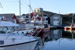
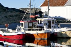
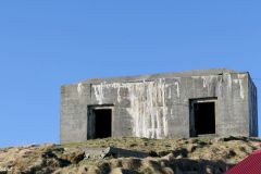
Ølberg beach – Vigdel beach (Sola): At Vigdel we find the smallest of the natural sandy beaches on the coast of Jæren. This hike mixes that with fascinating geology and WW2 memories at Ølberg.
This hike between the sandy beaches of Ølberg and Vigdel may not be as fast as the distance of merely 2.1 km might indicate. First of all it is not suitable for cyclists, strollers or disabled persons. Secondly there are almost no public transportation to the end points. On the other hand there is plenty of parking space available at both ends if you have a car. In fact this is a hike across grasslands and rocks not easily accessible even on good days. This means of course that the satisfaction of accomplishing the hike is all the more rewarding.
This article presents one of many hikes on the coast of Jæren, Norway. Get an overview and browse the rest here. Check out the map details on this link.
What to see
The start of the hike
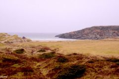
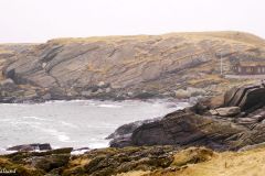
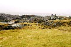
The hike offers a varied landscape of rocks and boulders, and through wilderness between two beautiful sandy beaches. The path is marked along the headland of Vigdelneset. The return may well take the shortcut over the hills if you don’t fancy the backtracing of your own footsteps.
It does not matter which way you go but this description starts at Vigdel. From the parking lot you may want to walk up on the summit of Vigdelveten hill. From here you will get brilliant views in all directions. The hill is not more than 67 metres above sea level, but it is actually the tallest hill in the Jærstrendene Protected Landscape Area.
A “vete” was a beacon erected on a hilltop as part of a warning system against hostile ships. The local farmers were obliged to stand guard throughout the year and ignite a bonfire if five or more hostile ships were spotted. This system was written into the legislation called Gulatingsloven by King Haakon the Good around 950 AD. There were more than 1,200 beacons like this along the coast. The rule was that it should take no more than seven nights to send the warning signals from south to north in the country.
There is a boardwalk approach to Vigdel beach from the parking lot. The boards are laid out to facilitate our access but also to protect the fragile landscape.
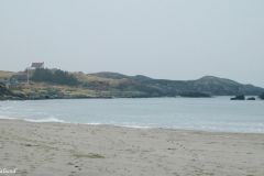
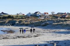
I have always been fascinated by Vigdel beach. There are certainly grander sandy beaches elsewhere on this coastline, it is actually quite small by Jæren standards. This is what makes it so pleasant, in particular on a warm summer day. The day we made this hike was not of that kind, in fact it was quite grey and windy.
The middle section
When we had turned right on the Vigdel beach, climbed up the small hill and hiked across a small section of grassland, we arrived at Nudavika. There are a three cottages here, two of them with quite unexpected modern architecture.
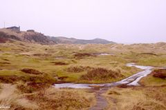
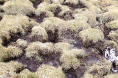
If one prefers a round trip between Vigdel and Ølberg, it is possible to take the return over the hills back here to Nudavika and avoid the circuitous route around the peninsula. Watch out for wet marshy grassland if you do.
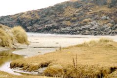
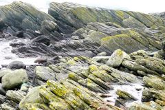
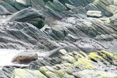
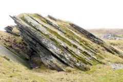
As we head out on the peninsula from the Nutavika bay, following the red painted dots marking the path, we face some exciting geology. Here we find black amphibolite, quartzite and phyllite in neat folds. The folded rocks came about as a result of a collision with Greenland 400 million years ago!
The final part
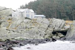
Hikers should take note of the large old tree trunk stranded in Taravika, the last bay before we reach Ølberg. Read more about Ølberg in my previous entry.
The video from this hike
Video from this hike from Vigdel to Ølberg
Further reading
This article presents one of many hikes on the coast of Jæren, Norway. Get an overview here. The hikes and corresponding articles are sorted in a north to south order. The adjacent hikes are:
North: Ølberg (Sola): The hike runs southwest from Sola beach towards Ølberg. Here we can follow a trail on the dunes, over stones and rocks, and over marshes and fields. Ølberg has a lovely sandy beach, a nice little harbour and extensive WW2 fortifications.
South: Vigdelneset: The trip around Vigdelneset between Vigdel and Hellestø is quite hilly and winding over rocks, wilderness and boulders between two beautiful sandy beaches. The hill of Vigdelveten offers a remarkable panoramic view. (Round-trip 5.4 km)

Ola Varhaug (1889-1965) – Farm In Norway (1919) (Source: Vesterheim)
Read more in my special article about Jæren’s geology, flora, fauna, history, people and art: Jæren – The coastline explained.
Les om strandturene på Jæren på “Sandalsand Norge”


