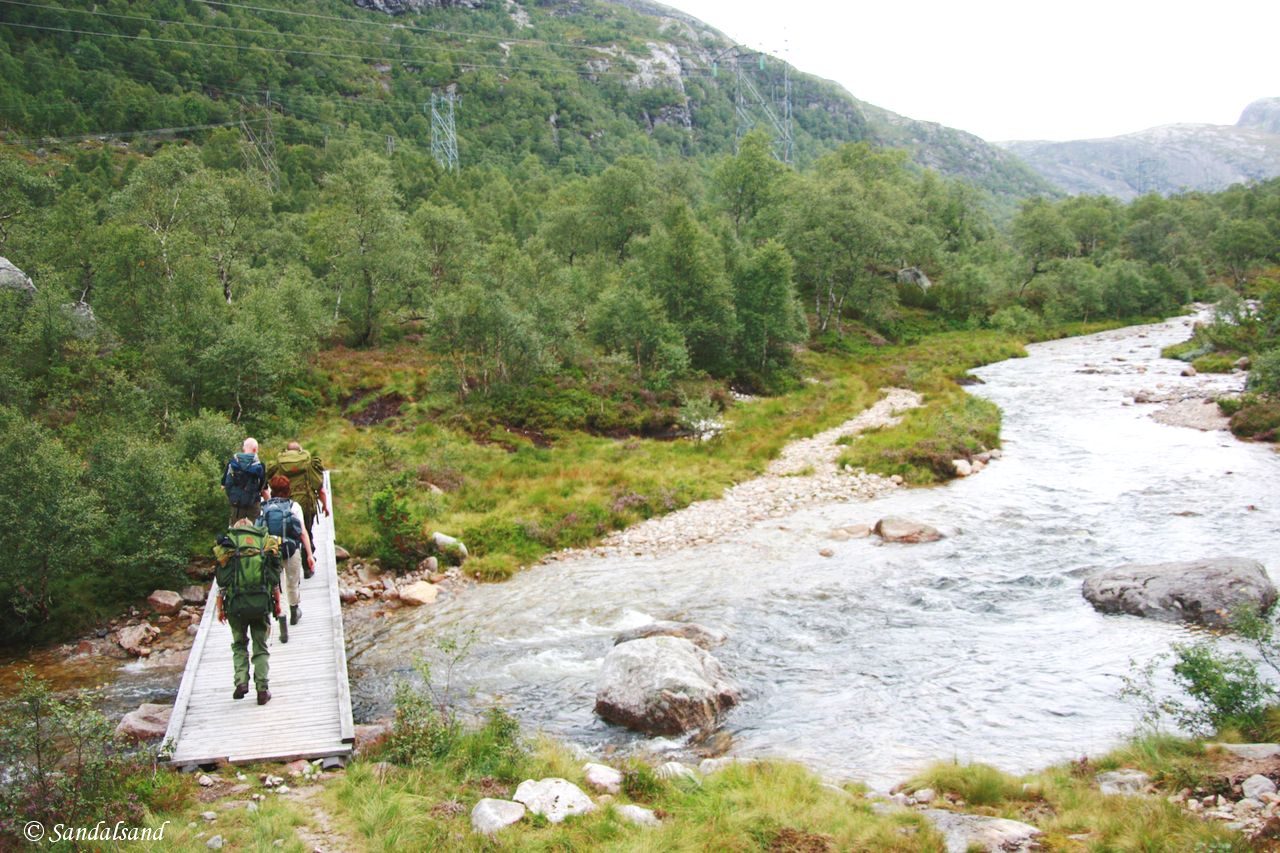
The Songedalen hike is one of several hikes along the Lysefjord in Norway. This hike is a very long one of 34 km but you can make it shorter.
The Lysefjord in south-western Norway is a perfect example of a Norwegian fjord: Steep mountains, rough scenery, spectacular views, a lot of weather. It also serves as a superb hiking ground for numerous trips. This is one of them. A version of this article in Norwegian contains more information and pictures.
Denne turen er også omtalt i den norskspråklige delen av Sandalsand.
What to discover
Place name dropping: Songesand – Helmikstøl – Songedalen – Daladalen – Håhellervatnet – Fyljesdalen – Lysebotn
The Stavanger Trekking Association has this information (excerpts):
“The hike goes along the road to Helmikstøl. From there on a tractor road leads to the Songedalen farm. It is a hike through easy, forested terrain along a beautiful river. (…) From Songedalen the trail continues through “several picturesque areas even though the path follows power lines and partly on road.”
We went into the valley on a Friday afternoon and stayed the night on the Songedalen mountain farm, owned by Stavanger Trekking Association. The next day we hiked easily further up the valley and over a hill pass to Fyljesdalen. Here the scenery was magnificent.
A War memory
On the way up another pass we were able to find the memorial to an English glider aircraft that crashed here in 1942, on the way to Rjukan.
During WW2 the famous heavy water sabotage was in effect several events. The first attempt to stop Nazi-Germany from building a nuclear capacity was by using British commandos. The soldiers were to be flown in gliders and land on the mountain plateau near Rjukan. In November 1942 two bombers with a glider each lifted from a base in Scotland. The weather was bad, they did not spot the deployed landing lights farther east, and both aircraft turned back. One of the bombers with their glider crashed at Helleland in South Rogaland, the second glider crashed here in the valley with 17 commandos on board. Eight of them were killed on the spot, while the other nine were captured by the Germans and executed.
After this you will arrive on a road and face a long hike on tarmac for the rest of the trip down to Lysebotn.
Only by going alone in silence, without baggage, can one truly get into the heart of the wilderness. All other travel is mere dust and hotels and baggage and chatter. (John Muir)
Practicalities
This is a dynamic map. Try it.
The terrain is easy-going and slightly rising all through the valleys of Daladalen and Songedalen. Towards the end, before we meet the road, there are a few climbs over passes.
The length of this trip can easily be cut by a few kilometres at the start by parking at Helmikstøl, and several more kilometres at the end by ordering a taxi up from Lysebotn instead of walking on asphalt the long way down. That is what we did.
We stayed at the tourist station run by the Trekking Association in Lysebotn and took a fast boat on the fjord on our return on Sunday. We had placed one of our cars at Forsand, and with it we could retrieve the other cars in Songesand. With a little planning everything is possible.
The Songesand cabin is unlocked, the beds are basic and you need to bring your own food. You pay for staying here by filling in a form with your credit card information. In Lysebotn the place offering accommodation is manned, accepts cards and serves very good food.
All entries and videos in this series
(0) Introduction
(1) The fjord by boat
(2) Ulvaskog
(3) Preikestolen – The Pulpit Rock
(4) Songedalen
(5) Kjerag
(6) Vinddalen


