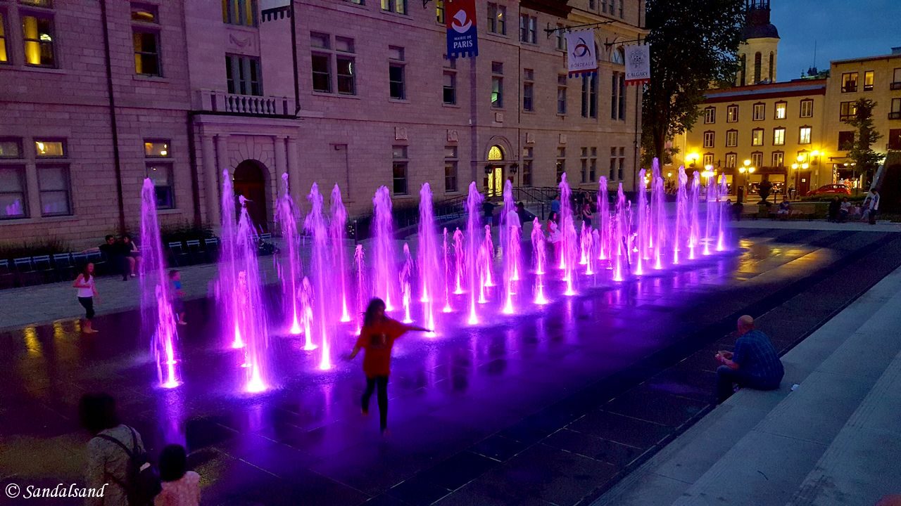
This collection of pictures from Canada is from a trip to the major cities in the eastern part of the country.
Check out all Canada entries on this website. You will find this picture gallery page, articles from World Heritage Sites and regular travelogues.
The Great Lakes of North America form parts of the border between Canada and the United States. The Saint Lawrence River is the main waterway leading to and from the lakes from the Atlantic Ocean. I went to visit two of the three largest cities on the Canadian side of the border, Montreal and Quebec. The third is Toronto, which I skipped and went to Ottawa instead. I travelled overland by train and bus between these three major cities in the provinces of Quebec and Ontario. You can read my story in three articles.
Click on the gallery to reveal all pictures from Canada.
This was a visit to the major eastern cities of Montreal, Quebec and Ottawa, riding buses and trains between them.
110 Photos
View all photo galleries on Sandalsand.
Fast facts about Canada
Want to learn more than just a look at pictures from Canada? Learn about the country on Wikipedia. Here is an introduction based on it.
Canada is a country in North America. Its ten provinces and three territories extend from the Atlantic to the Pacific and northward into the Arctic Ocean. Canada covers 9.98 million square kilometres, making it the world’s second-largest country by total area. Its southern and western border with the United States, stretching 8,891 kilometres, is the world’s longest bi-national land border. Canada’s capital is Ottawa, and its three largest metropolitan areas are Toronto, Montreal, and Vancouver.
Canada is a highly developed country, and it has the 24th highest nominal per-capita income in the world. It ranks as number 16 in the Human Development Index. Its advanced economy is the ninth-largest in the world. It relies chiefly upon its abundant natural resources and well-developed international trade networks.


