
What is the true size of a country? Of course, a map is a lie. It cannot fully represent the real world simply because it is two-dimensional. Now, what happens if you try and do something about it?
How can you shrink or expand a country?
There have of course been many attempts at creating good projections onto a flat surface of, say, a mountainous terrain or the planet as a whole. The most common is the Mercator projection.
That projection “opens up” the polar regions, stretches them, and ultimately exaggerates the size of the countries in North America, Europe and Russia. In doing this, the Mercator projection also creates a visual idea of the importance of these countries, downplaying the countries situated around the Equator. This naturally has political implications.
We have all viewed world maps with a huge island in the north called Greenland. It is not really that big compared to the rest of the world. In the map above Greenland is placed over the central part of Africa. This renders a much smaller island. In short, it reveals its true size. A map is a lie.
I made the image above with the help of a very nice, little app. It offers a splendid way of playing with countries: Drag and drop them anywhere on the planet to reveal a different representation of them. You may even group several countries.
Is it possible to fit China, India and the United States into Africa? Check out the true size of countries on the web page called “The True Size of..“
See how others have changed the map view
I published the above in 2015. Many years later (2024) I came across a post on the excellent website Brilliant Maps. I permit myself to copy the idea and some of the illustrations in that post. As a matter of fact, it also leans on a thread from Reddit and the work of a user by the name of neilrkaye.
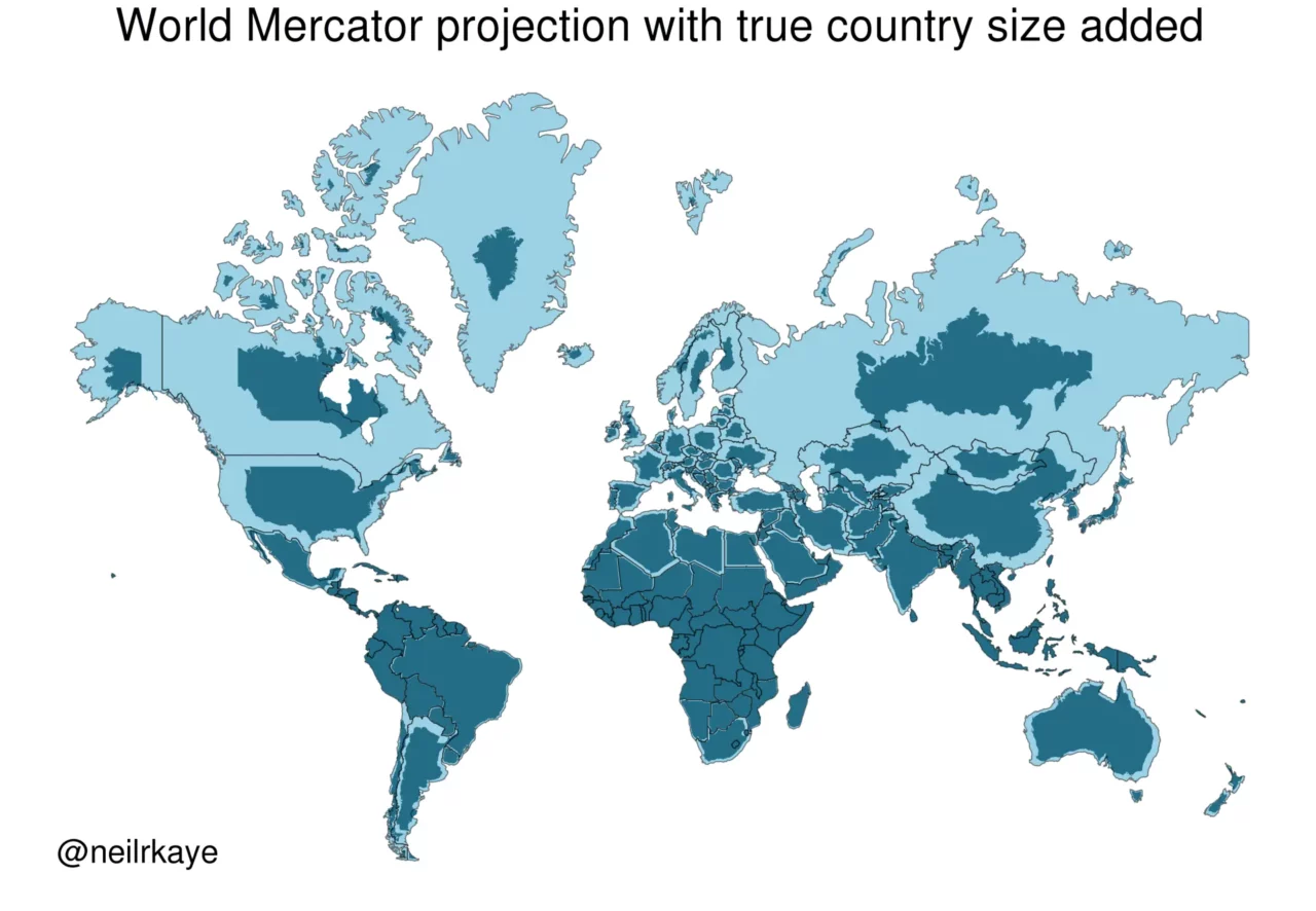
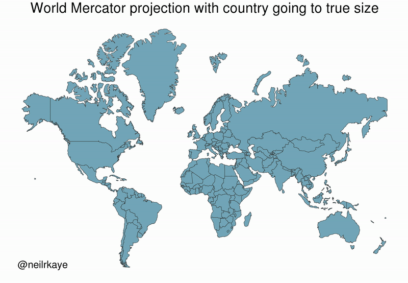
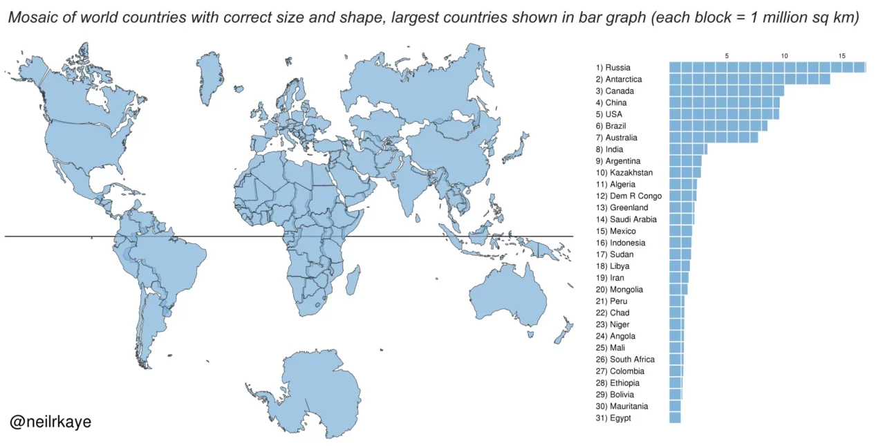
There are three ready-made illustrations worth contemplating. Using the original on the web page True Size, neilrkaye has managed to put each and every country in its “true” size onto a Mercator projected flat map.
Here are the results. Click to expand all images.
Read more
Find more travel related stuff in the Travelling section on this website and even more inspiration in Abstracts of the world.