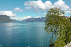
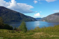
On the road trip in beautiful, sunny Hardanger from Rosendal to Utne, we had blossoming fruit trees and a surprise visit to a glacial lake. We also had snow capped mountains, and a blue fjord. This is the third part of road trip in beautiful, sunny Hardanger.
Denne artikkelen er også tilgjengelig på norsk.
Getting started
We had spent the morning hours with friends in the very pleasant park at the Rosendal Manor and went back on the road again with 90 km to go for the rest of the day. A short ride, seemingly. On the other hand the road is narrow, and surely, we were expecting to make a stop or two. Actually we spent a lot more than one would anticipate.
We drove north along the Hardanger Fjord looking for blossoming fruit trees. There were none. Clearly, this was not the centre of the fruit producing Hardanger region, a region that boasts 40% of Norway’s fruit production and 80% of cherries.
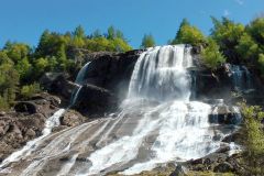
The scenery was nice though and we soon reached a waterfall. For us Norwegians a waterfall is (almost like) an everyday experience. Most foreigners are awed by the shear sight of a small one. This waterfall, called Furebergfossen, struck us as particularly nice.
Bondhusdalen and the glacier
The people at Rosendal had tipped us of a detour, with a view of a glacier. We could not remember the name of it, but when we reached a pretty little hamlet called Sundal we noticed a road sign stating Bondhusdalen. We made a fast decision and turned inland for a 3 km drive. From the parking lot at the end of the road, inside a valley, we got a notion that this might be it.
We parked the car, packed something to eat and drink, and hiked up the narrow Bondhusdalen valley on a gravel road. We had no idea how far it would be to walk or how the terrain was. On the way we met a couple of French-speaking men with alpine skis on their backs. What was that? This was early May, spring had arrived and skis?
Anyway, only 3 km up the gravel road we reached one of the most beautiful lakes I have ever seen.
The Bondhusvatnet lake was sort of trapped inside the dead end of the valley, with steep mountains on all sides but the one we had entered. The lake was crystal clear, and the reason is obvious. A glacial lake is formed by melting water from, yes you guessed it, a glacier.
.
At the far end of the lake we saw it. The arm of the large Folgefonna glacier hanging down the mountainside, thick and bluish in colour. Folgefonna is the third largest glacier on mainland Norway and sits on top of the large peninsula we were driving around on this Hardanger road trip.
We thoroughly enjoyed our short stay here at the lake, reading up on the facts being posted on a large board. The road, or track, we had hiked was apparently called the Ice Road. It was originally built around 1860 to aid the transportation of ice blocks from the glacier, later shipped out of Sundal. The ice was used around Europe for the cooling of fish and sold to large households. The first load of ice was actually transported much earlier than that. From 1822 they carried the ice on the back, manually.
At that time the glacier reached almost down to the lake, but it has gradually retracted. Later in the 19th century local peasants would use the road to transport tourists up here, providing important extra income.
The road to Utne
Back in the car we continued north on County Road 551. We reached a bay where the road cut underneath the glacier through a very long tunnel to Odda on the other side of the peninsula. We were going to visit Odda the following day so instead we continued north, through another long tunnel and ended up at a series of picturesque little hamlets and villages.
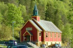
The first was Jondal. For some reason the village boasts two churches and is by and large a very nice little place. Jondal is also at an important junction. From here one can take the road up to the Fonna Glacier Ski Resort for summer skiing. We didn’t.
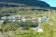
The most picturesque of the bays is undoubtedly Herand. There are quite a few boat houses for smaller vessels, cabins for hire in the tourist season and small farms spread out like a fan up the steep hill. Great view, wonderful setting and a multitude of cultural activities and attractions set up by whoever.
From Herand the road crawls like a snake uphill and into the forested hills descending once more to sea level for the last stretch towards Utne. This is fruit country: We passed Kvalvik, Alsåker, Vines, and Lothe before arriving at our final destination today, Utne.
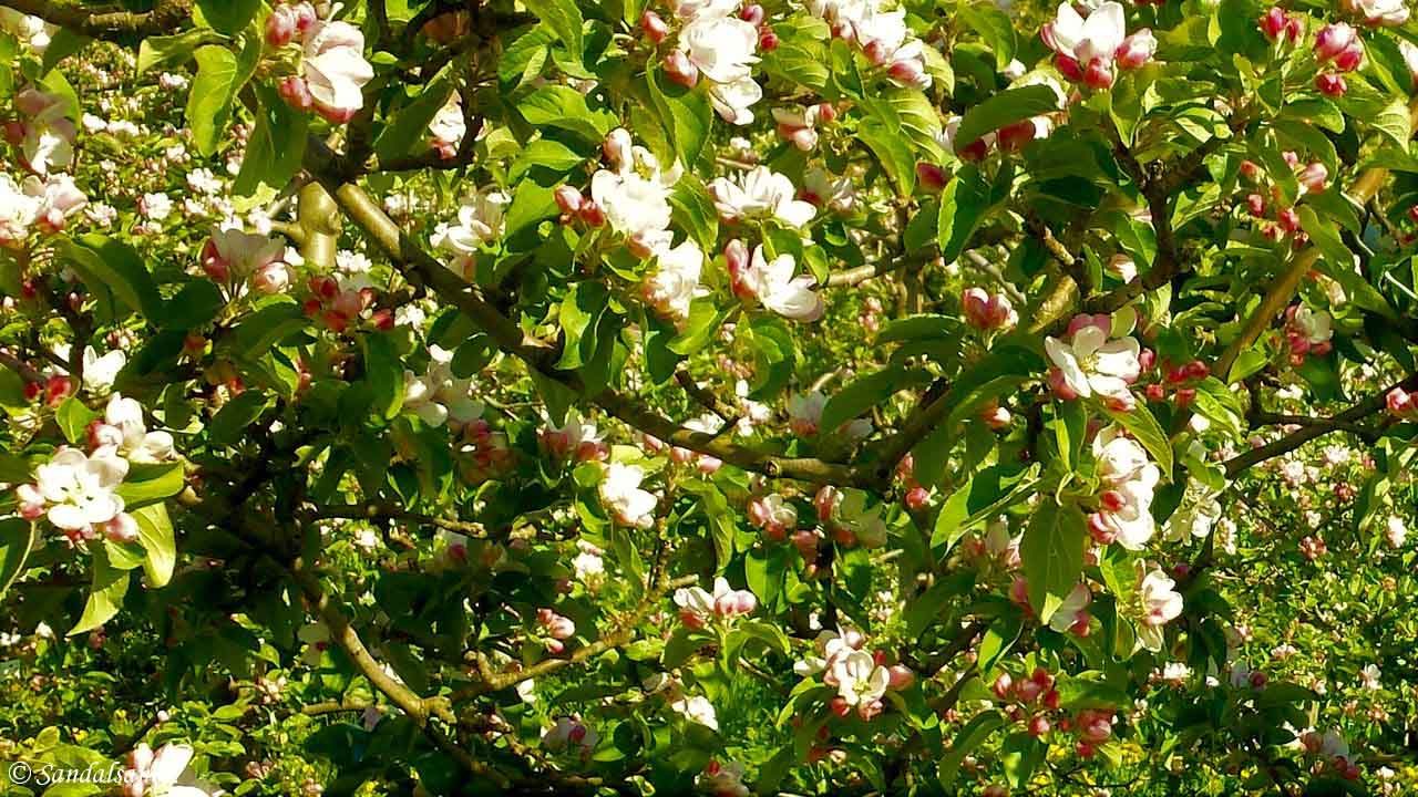
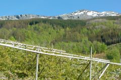
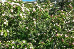
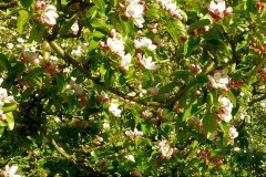
On this stretch we at last found our fruit trees. Lovely. In blossom. And with a blue sky the setting could not have been more perfect.
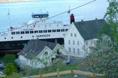
We settled in the most remarkable little hotel, right on the ferry landing. Utne proved to be a very fascinating place, not least for the very special Norwegian tradition we witnessed the next morning. That is why I will describe this village in a separate blog entry, coming up next.
The map of this road trip
This is the map showing our trip. Zoom in and out and expand to a new tab as you like.
Further reading
This is the story of a road trip in the southern part of the region of Hardanger, in Western Norway. Read the articles:
(6) Sørfjorden, Odda and Røldal

