This is about the Kolnes hike, one of many hikes on the coast of Jæren, Norway. The hike is 3.1 km one way.
Orientation
Risavika – Kolnes – Sola beach: At this point in the north to south coastal walk we are back in the conservation area again for the remaining distance to Ogna in the south. This is a hike of 3.1 km on grassland and sand. The need to cross barbed wire fences makes it a less easy walk though.
The best option is to park at Solastranda beach and walk north. Parking may be found at or near the Christian conference centre called “Himmel og Hav” (Literally “Sky/heaven and sea”) at the northern end of the beach. We will be hiking past the farms at Kolnes and return when we reach the industrial area of Risavika.
This article presents one of many hikes on the coast of Jæren, Norway. Get an overview and browse the rest here. Check out the map details on this link.
What to see
Start at Sola beach
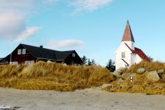
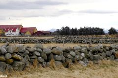
Make sure you don’t miss the small white painted chapel at the conference centre and peek inside its windows. At Grytnes we pass a small group of cottages before turning north and face a long stretch of flat fields, and a mix of sandy, pebble and boulder beach. We take notice of a number of rocky slipways made for moving boats to and from the sea. The first kilometre along Søre Stranda (Southern Beach) is very easy to walk, on grassland right by the shoreline.

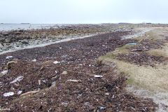
Boulder beach, seaweed and the start of this hike northwards
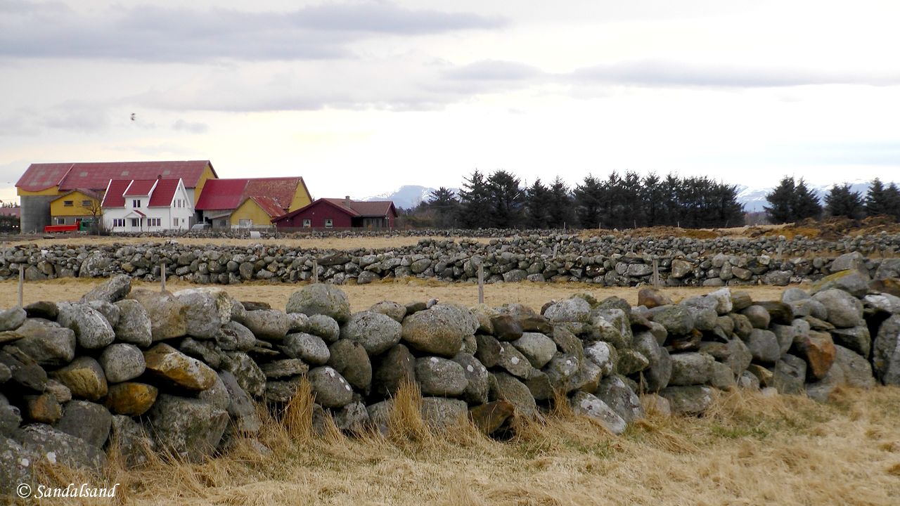
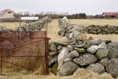
Stone fences and farm at Kolnes, Sola
Beyond the first bay
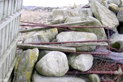
When we move beyond the first bay, advancing towards Kjeilå, it is starting to become a bit trickier. From here on we encounter a number of stone fences to climb over, or barbed wire fences stretched out right into the seashore. There are no fence ladders around to facilitate the crossing of the fences.
The fact is that there is active farming taking place right down to the narrow strip of 10-20 metres of the Protected Landscape Area. This seems to be a land of cattle or sheep. (I couldn’t really tell which as I made my hike in March.) In any case this hike runs along a bird sanctuary and the proper authorities do not seem to encourage hiking here. But: Hiking is nonetheless perfectly legal.
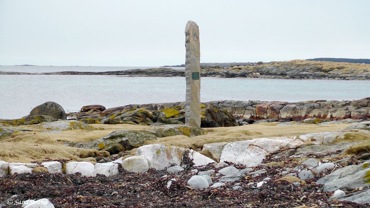
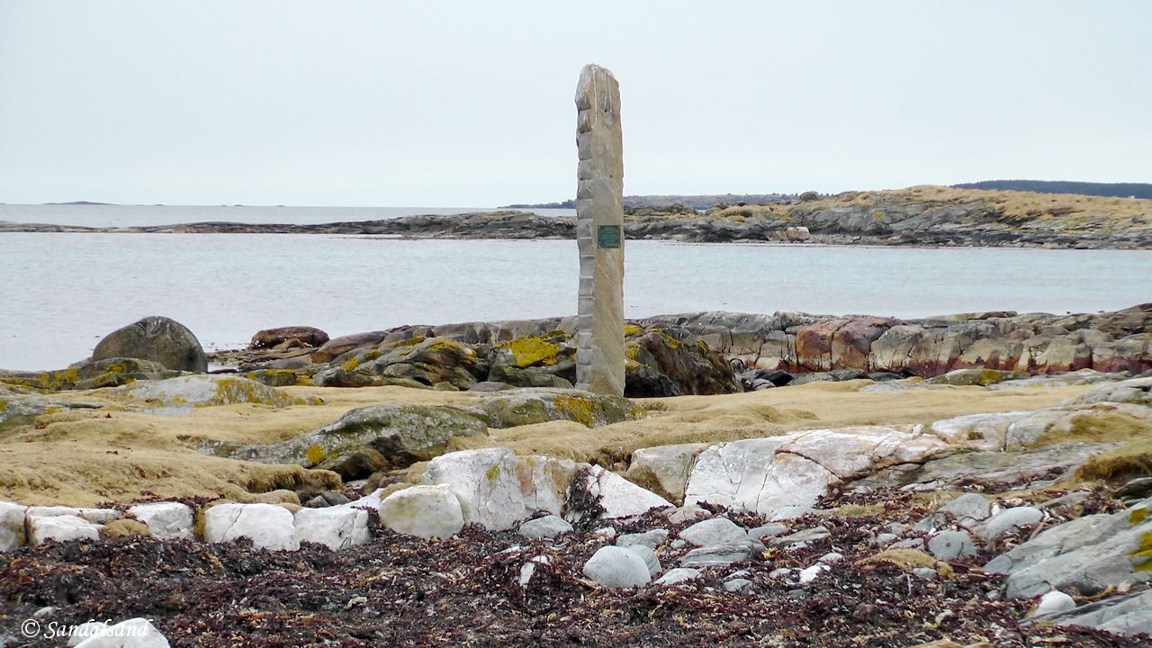
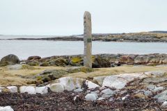
Monument to the shipwrecked D/S Victoria, 1903 at Kjeilå.
Jæren has seen many shipwrecks, and further south on this coastline salvaging became a profession. At Kjeilå we take notice of the memorial to the shipwrecked steamer Victoria. In the middle of a stormy night in 1903 the steamer Victoria had strayed off course sailing north to Stavanger. The ship hit a rock at the skerries of Kolnesholmane, a few hundred metres from land. Despite desperate salvaging efforts only five survived. 18 were killed. (Read more.)

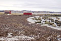
Seeweed beach and boathouses at Kolnes
Second bay
On this hike we press on, past the large boathouses at Vestre Stranda (Western Beach). At this point we discover the industrial area at Risavika ahead of us. (The picture above shows the boathouses, in the other direction.)
There are a few other landmarks on this hike. The large tree-covered island we are able to see three kilometres out in the sea, is called Rott. It is a fascinating little community, and also in its entirety part of the Jærkysten Protected Landscape Area. One may catch a boat out there from Tananger. The next landmark we are able to visit is the small hill of Ådnaberget.
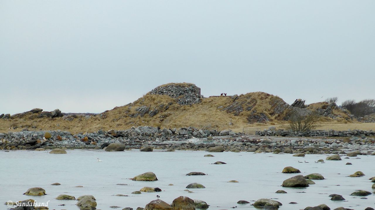
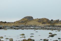
Ådnaberget with fortified bunker and anti-aircraft gun position from WW2
There are many World War II remains along the coast of Jæren. The flat beaches would have provided perfect landing grounds for an Allied invasion. That invasion came on other beaches as we now know, but the Germans took no chances and put up much effort to protect their occupied territory. There are a number of remains existing even to this day, now protected as important cultural and historical assets. At Ådnaberget there is a bunker, and the only existing anti-aircraft gun base (8.8 mm) I have seen on this coast.
Below Ådnaberget we find the only large phyllite rocks on this hike. In particular the northern part of Jæren is dominated by them, but evidently not here.
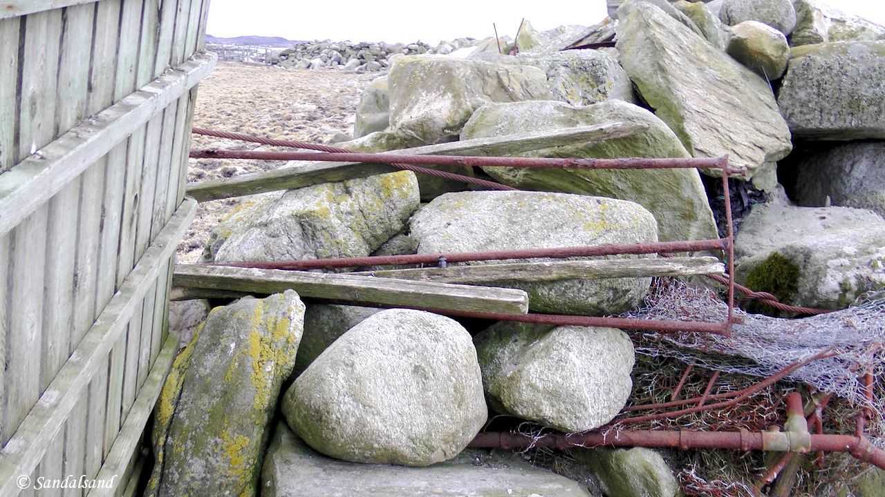
Fence climbing is a necessity on this hike
Stop at Brunnavika
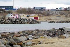
When we continue we are soon able to look across the bay to the marina in Brunnavika. Here we face two choices. One is to continue around the bay to the marina and join the new biking trail behind it. It leads past the industrial area onto the small island of Hestholmen (see linked article below). On this early evening in March I was not tempted and after 3.1 km I took this picture from Hyljodden and returned to my car the same way I came.
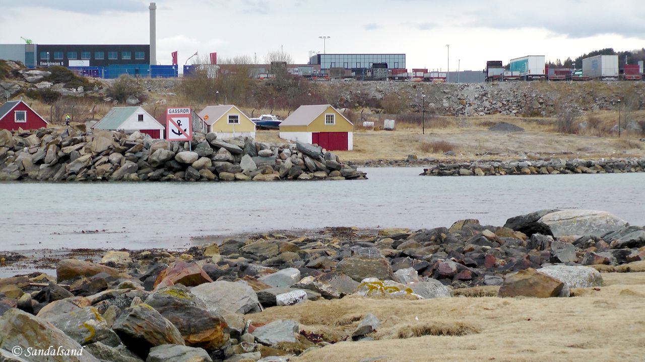
View towards the marina in Brunnavika and the Risavika industrial area
Video from this hike.
Further reading
This article presents one of many hikes on the coast of Jæren, Norway. Get an overview here. The hikes and corresponding articles are sorted in a north to south order. The adjacent hikes are:
North: Jåsund – Tananger (Sola): This is a remarkable hike on white-washed cliffs between Hafrsfjord Bridge and the very pleasant harbour of Tananger. The area south of Tananger is to be avoided: It is filled with very active harbour activity, industrial plants and office buildings all around the bay of Risavika.
South: Sola beach (Sola): This beach is arguably the most visited and most famous of all sandy beaches on Jæren. The Sunday Times even named it the world’s sixth most beautiful beach. (2.8 km)
Fottur.net has an article with a number of pictures from the hikes Regestranda to Kolnes and Kolnes to Hestholmen.
Here is a page with local history from Sola and Tananger. Many of their articles have a summary in English.

Bernhard Hinna (1871-1951) – Unknown title (Source: Aftenbladet.no)
Read more in my special article about Jæren’s geology, flora, fauna, history, people and art: Jæren – The coastline explained.
Les om strandturene på Jæren på “Sandalsand Norge”

