This is about the Tananger hike, one of many hikes on the coast of Jæren, Norway. The hike is 6.7 km one way.
Orientation
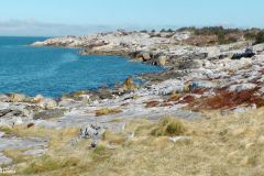
Jåsund – Tananger (Sola): This is a remarkable hike on white-washed cliffs between Hafrsfjord Bridge and the very pleasant harbour of Tananger.
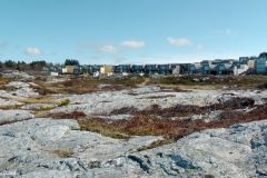
The Tananger peninsula in the north of the municipality of Sola will see huge changes in the years to come. Large residential development projects will reduce the existing farming land considerably and encroach on the fragile coastline. On the positive side biking and hiking trails will be built enabling easier access for the growing population.
My story, my pictures and my included video from 2013 bring forward the highlights of this remarkable landscape: The old boathouses, the bays, the heather moors, the small woods, and not least the long stretches of white-washed rocks rising gently from the sea.
This article presents one of many hikes on the coast of Jæren, Norway. Get an overview and browse the rest here. Check out the map details on this link.
What to see
For the time being parking comes easiest in Tananger harbour, but visitors may find it more convenient to use the frequent bus service to either end of this hike. The 6.7 km hike will take you from the harbour along the peninsula’s shoreline right until Jåsund, at the Hafrsfjord Bridge.
Because of the length of the hike, and the effort of making it, few will find it rewarding to retrace their footsteps back. Some would continue their hike on the trafficky road back to Tananger, others would use two cars. I chose to take the bus from Jåsund back to my parked car in Tananger.
Tananger harbour
In any case, this hike starts in the idyllic harbour of Tananger. It is like being in one of the very pleasant and picturesque towns of Sørlandet, the southern coast of Norway. Tananger boasts a museum of maritime history, a pilot station, a few old buildings, some more made to look old, and a fine marina.

Air view of the Tananger hike, southern part
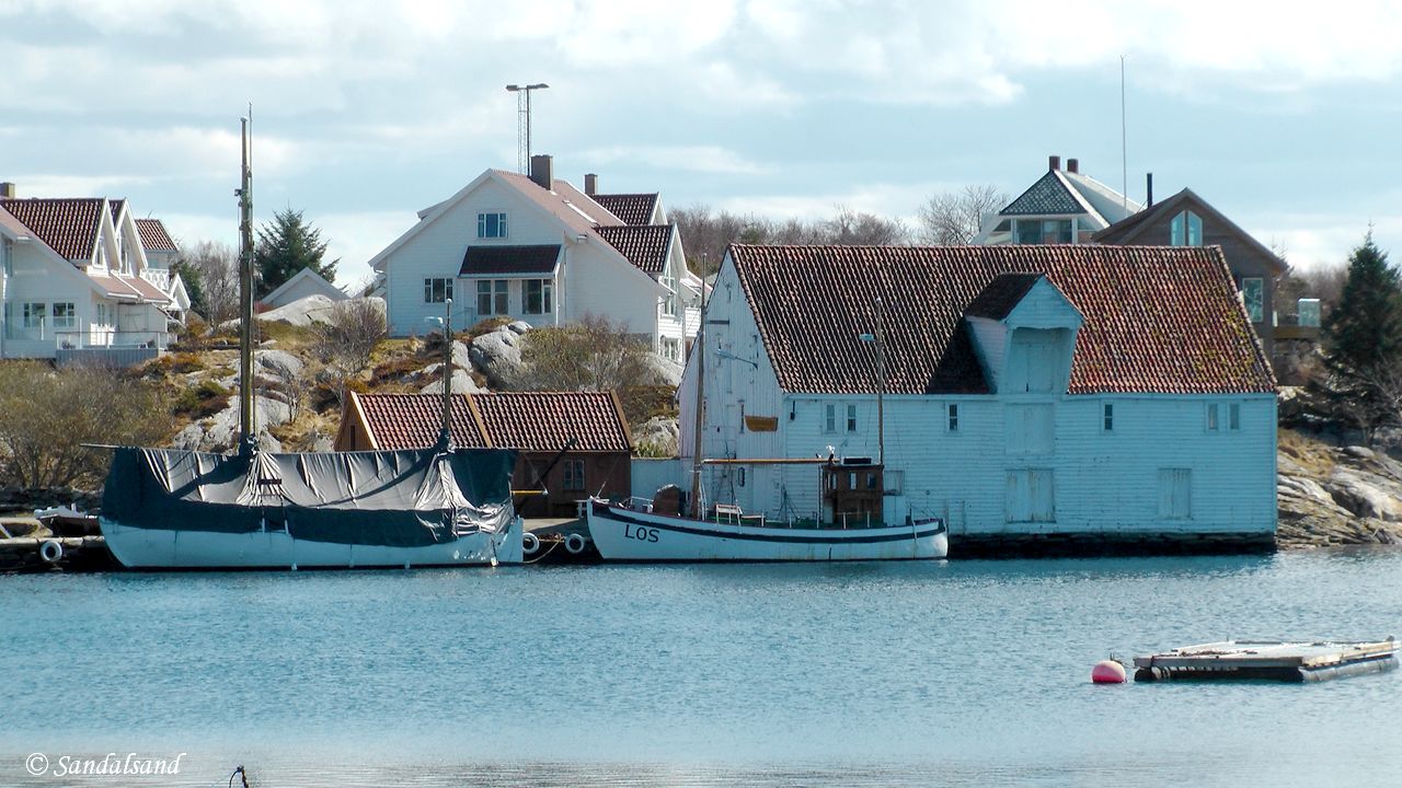
Old pilot vessels and harbour warehouse (Melingsjøhuset) in Tananger
The Monsenhuset (Monsen’s House) was built in 1732 as one of the first houses in Tananger. It was named after elder ship pilot Gabriel Monsen who also ran a guesthouse here. The Monsen family became quite prominent over the years and reportedly made an important contribution to the growth of Tananger.
In front of the Monsen house there is a statue of two young girls, “the girls on Flatholmen”. In January 1894 the girls did a heroic job in an attempt to salvage their father and two brothers whose boat had capsized in the stormy sea. They managed to save only one of their brothers. Their story has been retold many times. Here are two of them: (1) (2). You may want to have a go with Google Translator.
Monsenhuset in Tananger harbour
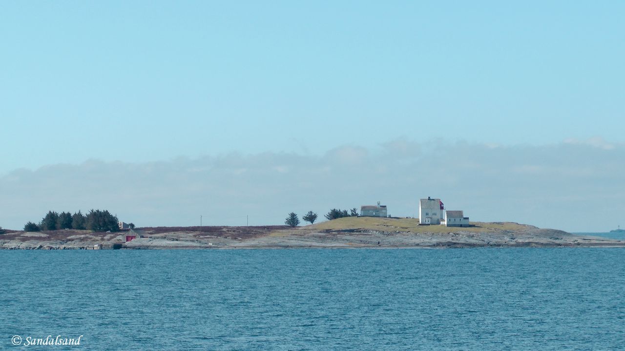
View towards the abandonded houses and automated lighthouse at Flatholmen, outside Tananger harbour
Our direction, west and north
As we walk uphill to the left of Monsenhuset we soon get a wonderful view north in the direction of our hike, and westward to the islet of Flatholmen with the lighthouse and houses that no longer have permanent residents, and also to the island of Rott which is partly forrested.
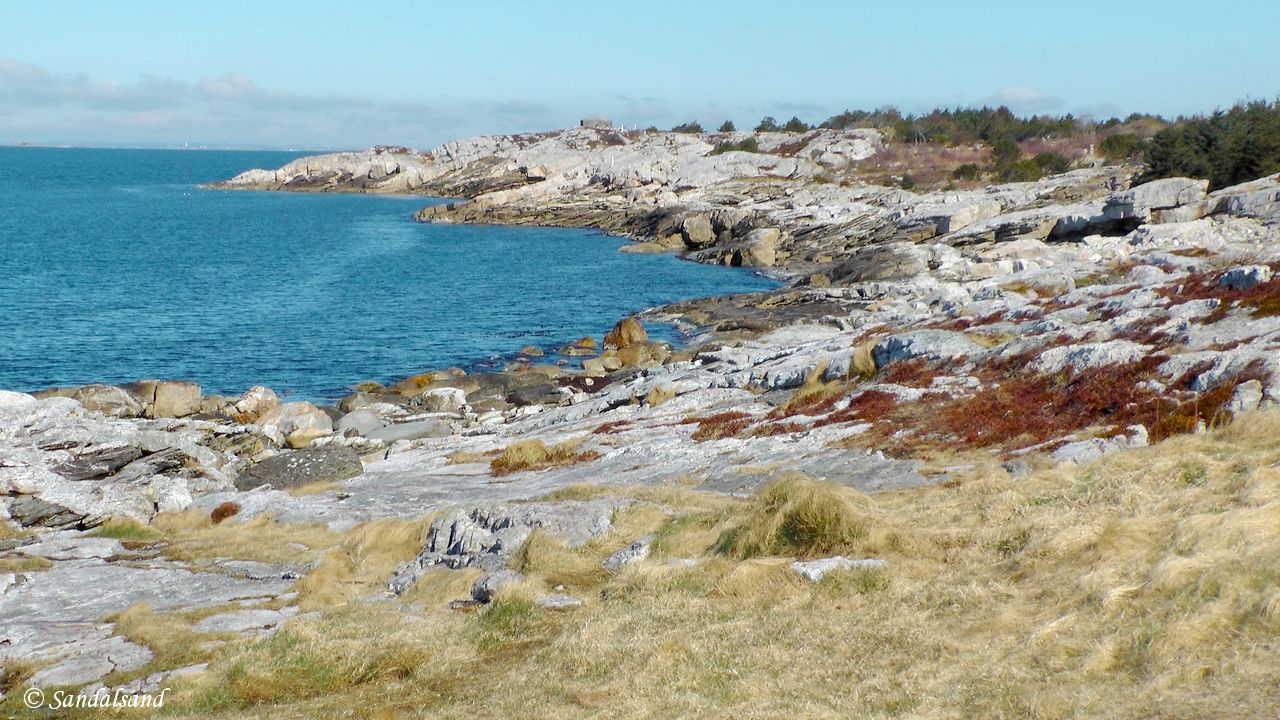
Some grassland but mostly rocks to hike and jump. This is the direction of our hike.
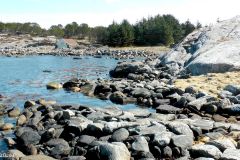
We will be keeping very close to the shore, jumping the rocks and avoiding marshes and wet parts further up. On some parts of this hike we will notice private houses a hundred metres or less from us, on most other parts we don’t take any notice of the locals at all. There are no marked paths to follow, but gravel trails are beginning to close in on this rocky land. It is easy to find one’s way, just follow the shoreline.
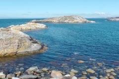
The rocky landscape makes it possible to find a quiet place to rest even on a windy day, and it would most certainly be possible to bring along your old fishing rod to one of the cliffs. Even swimming is possible, for instance at Risnes pictured below.
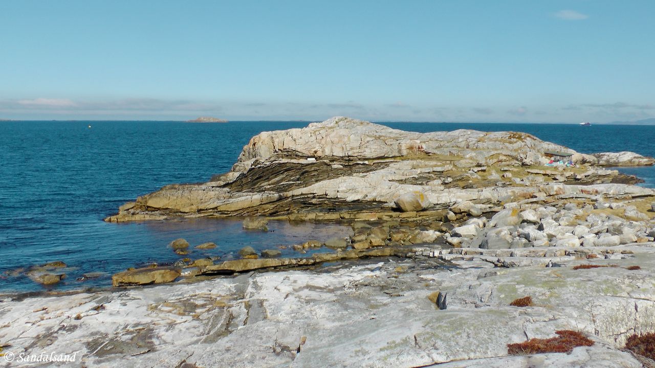
View towards Risnes
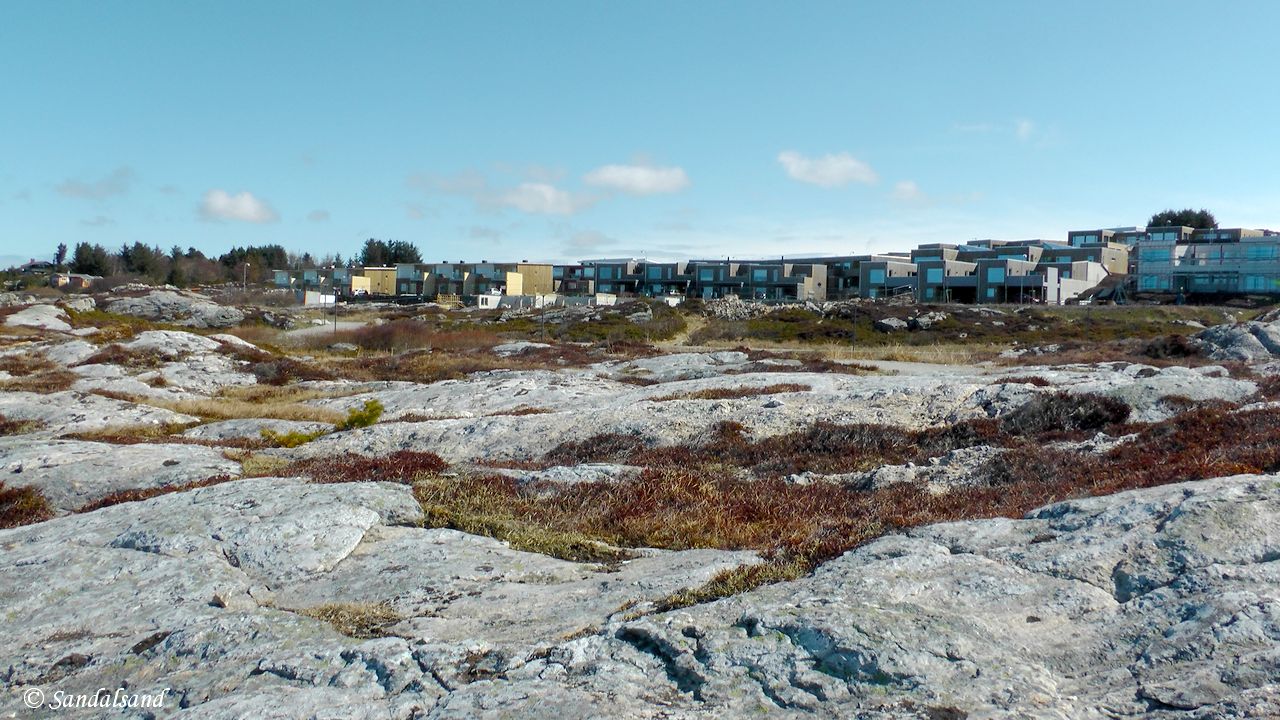
Coastal rocks and encroaching residential development
Sivilization is never far away
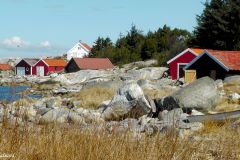
We discover a few cottages and boathouses as we walk. There are not many and they are quite evenly scattered almost all along the western side of the peninsula. There are natural bays as well, giving some shelter from winds and waves coming in from the North Sea. The most picturesque of them all is called Vestø.

Traditional boathouses and cottages in Vestø bay
The far north
When we reach the northernmost tip of the peninsula, the residential areas are very distant, the rocky landscape is quite flat, the heather moorland is at its widest. And the sense of remoteness is at its height.
Why do we not meet anyone else out here in this magnificent landscape? On this beautiful sunny day in late April I was prepared to conclude that this was the best hike on the entire coast of Jæren.
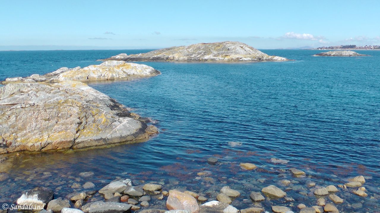
View towards the Fjørnesholmane
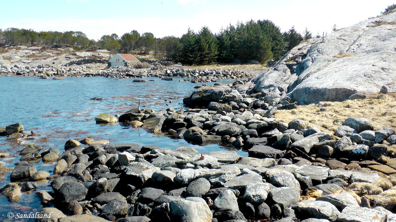
View towards Skiftesvik
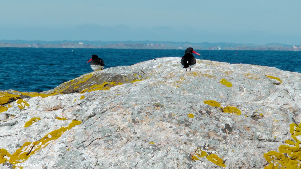
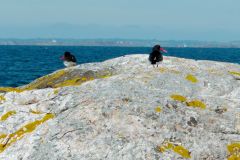
Two Eurasian Oystercatchers (Haematopus ostralegus) on a Tananger rock
Turning around the tip of the peninsula, after the bay at Skiftesvik, we reach Stokkavik and the dream-like hike is over. Seeing the residencial house and the road of Jåsundveien is a reminder of the fact that this is actually an integral part of the metropolitan area of Stavanger – so to speak. Some would stop their hike here, and return, or have a car to take them back unto the main roads.
The return
I decided not to. Instead I walked uphill into the wood at Stokkavik and down on the pebble beach on the other side, facing Kvernevik’s industrial area on the other side of the mouth of Hafrsfjord. From here we are facing the Hafrsfjord bridge for the rest of the hike.
This last stretch around the boggy Krabbavika bay and the rather run-down cottages and boathouses further on did not make up the most interesting part of this hike. On the other hand, there is something called “the beauty of deterioration”, and the fields behind are being developed into large residencial areas very rapidly.
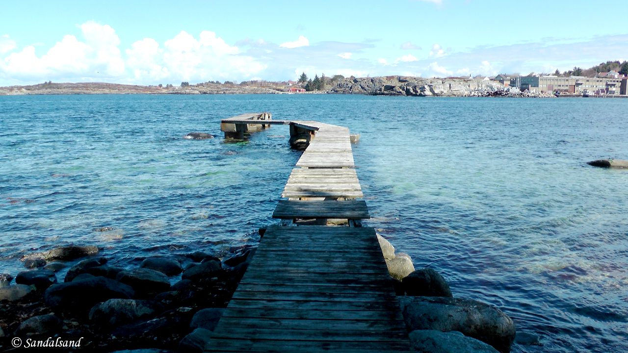
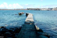
Wooden pier near Krabbavika, Tananger peninsula. Kvernevik in Stavanger is on the opposite side.
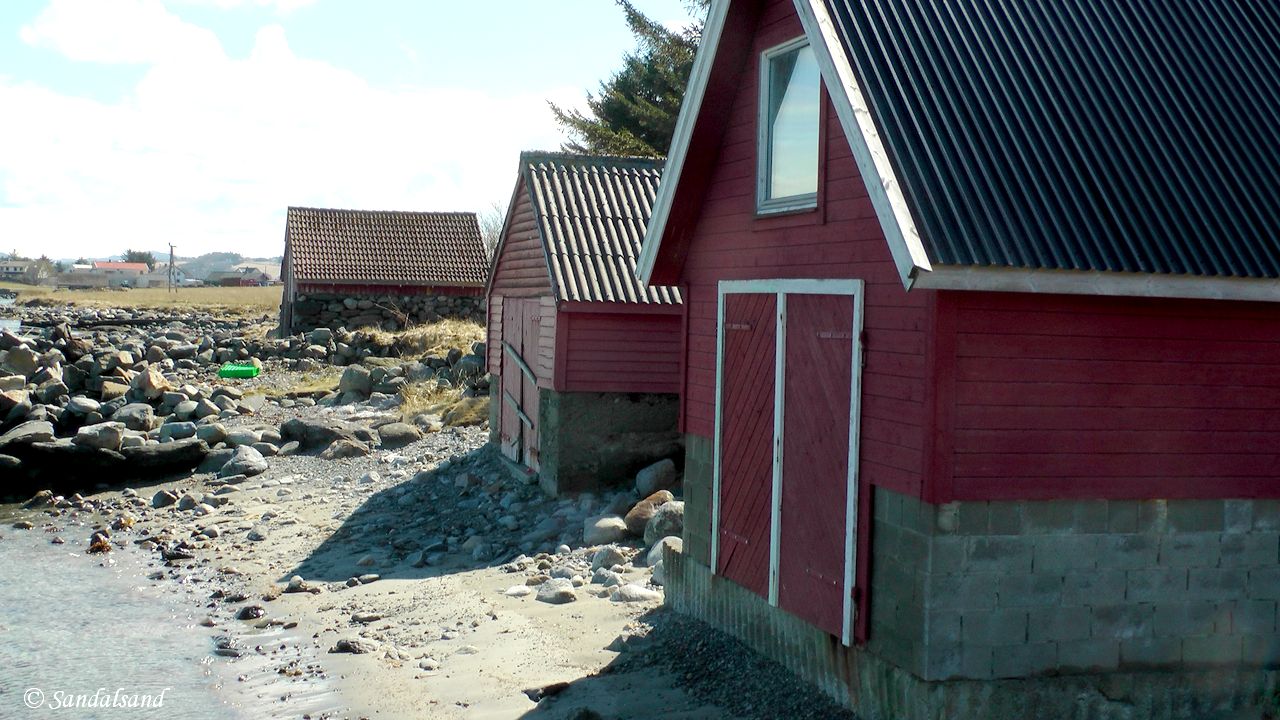
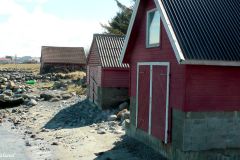
Boathouses in Jåsund, Hafrsfjord
My video from this hike
Further reading
This article presents one of many hikes on the coast of Jæren, Norway. Get an overview here. The hikes and corresponding articles are sorted in a north to south order. The adjacent hikes are:
North: Hafrsfjord is one of the most significant fjords in the history of Norway. The walkable parts are on the eastern side (Stavanger) of the fjord. In this fjord there are a couple of monuments to the crucial Battle of Hafrsfjord in the year 872. (27.9 km)
South: The area immediately south of Tananger is to be avoided: It is filled with very active harbour activity, industrial plants and office buildings all around the bay of Risavika. (6.6 km) The next hike on my route is this: Risavika – Kolnes – Sola beach: At this point in the north to south coastal walk we are back in the conservation area again for the remaining distance to Ogna in the south. This is a hike on grassland and sand. The need to cross barbed wire fences makes it a less easy walk though. (3.1 km)
Texts in Norwegian (foreign speakers might want to give Google Translate a chance):
- The national hiking website Ut.no offers a description of this hike called “Tananger: Geologisk vandring langs havet“
- There is a local history association called Tanangers Minne which is quite active. Some of their articles even have an English language version.
- A website promoting hikes in Rogaland, turanbefalinger.com offers an article called “Tananger Losstasjon og havn” about the harbour.
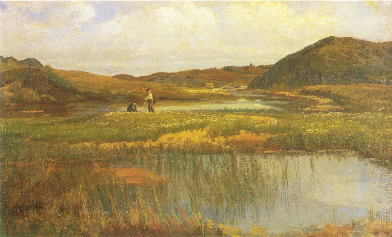
Kitty Lange Kielland (1843-1914) – From Jæren (1880) (Source: Wikimedia Commons)
Read more in my special article about Jæren’s geology, flora, fauna, history, people and art: Jæren – The coastline explained.
Les om strandturene på Jæren på “Sandalsand Norge”


