This is about the Sele hike, one of many hikes on the coast of Jæren, Norway. The hike on sand and grass is 1.4 km one way.
Orientation
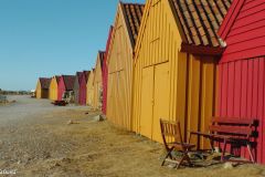
Sele (Klepp): Some say Sele Harbour is the most picturesque of all Jæren harbours, in particular because of the colourful row of boathouses. This hike includes high sand dunes to the north and a wonderful boulder beach and the mouth of the important salmon fishing Figgjo river to the south of the harbour.
There’s plenty of parking available at the harbour. Actually Sele could be used as a starting or end point for a hike north to Hellestø. I can also be the base for a hike southwards on Sele’s boulder beach and on to the long sandy Bore beach. The hike I did was to park here and do a little of both. It was a great 5.6 km combination. The distance one way would be 3 km.
This article presents one of many hikes on the coast of Jæren, Norway. Get an overview and browse the rest here. Check out the map details on this link.
What to see
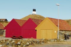
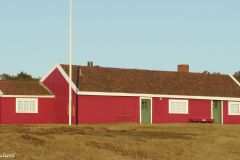
There are many pleasant, and picturesque, harbours along the coast of Jæren. At Sele, the breakwater structure creating a secure little marina is in itself not worth noting. What makes the harbour is the row of colourful boathouses all facing the sea. I have been visiting the harbour a few times over the years, and they have always seemed to be kept in a very good condition. Not only is the maintenance impeccable compared to many other boathouses on the coast, the colours make them extra intriguing, not least on this afternoon in March when my pictures and video were shot.
Part 1: From Sele towards Hellestø
The previous day we had taken a short and very nice hike from Hellestø to Båtmannsvika, a wide bay near Bybergstranda about halfway to Sele. I had now returned to finish off that last part. This meant I would be returning to Sele.
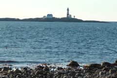
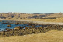
The start of this hike is on trail/road and grassland, inside the pebble beach. Looking out on the sea, we have a good view of the lighthouse on the Feistein Island. As we continue and pass the tip of Lyratangen we get a very nice panorama up ahead: The Hellestø beach is one of the most popular beaches on Jæren. On top of the hills behind it we notice the residencial houses at Hålandsmarka. Behind Hellestø to the left we can see the cliffs and hills at Vigdelneset.
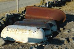
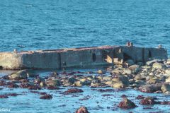
As we are approaching Båtmannsvika, the end point of this first leg, we take note of the concrete barge structure washed up on the shore at Nordre Tangen. I have read it dates back to the war, but I am not certain. It constitutes a modern-day landmark in any case.
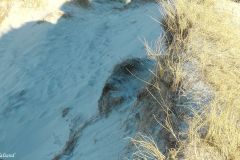
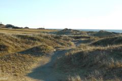
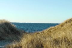
There are three “routes” on this stretch from Sele Harbour towards Hellestø. One is to slalom through the mix of pebble, boulder and sandy beach, the other is to walk on top of the dunes, the third is to walk behind the dunes. It chose the latter two. Walking on top of the dunes offers the best views, but some of the dunes are quite high and what goes up must come down; One has to do some climbing at parts. My return in the back of the dunes offered views to the farming fields which were not very exciting, but it had a smoother path to follow.
Part 2: From Sele Harbour to Sele beach, the mouth of Figgjo River and start of Bore beach
Anyway, I returned to Sele Harbour. Many visitors would be satisfied with the first part of my hike, after a bit more than 3 km. I decided to continue south on the Sele beach.
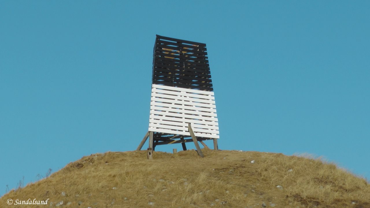
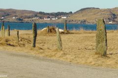
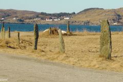
Right behind the harbour there is an old burial mound with a very distinct sailing mark on top. You can see it from far away.
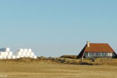
There are quite a number of cottages lined along the hinterland of Sele beach. They have a strip of wetland in front of them, but not so wet as to make them difficult to cross. On the other hand I have actually been here in the middle of winter finding people skating on it.
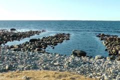
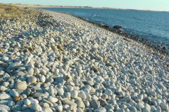
The shore of Sele beach is made of cobbles and boulders, almost perfectly rounded white stones. It is an absolutely fantastic sight. It is quite similar to the boulder beach found at Børaunen, near the north end of Jæren.
This beach is not long, after a few hundred metres we walk up on some sand dunes and face a wonderful panorama: The sandy beach of Bore is long, wide and very open. Kiters and windsurfers have a good time here when the wind is favourable. It often is.
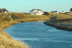
The mouth of the Figgjo River marks the division between the beaches of Sele and Bore. It is a salmon fishing eldorado – for people with a license to fish. King Harald of Norway is a regular guest here. The fishers have a cabin located a hundred metres up from the seashore and there is a footbridge across the river next to it.
My video from this hike
Further reading
Let me just add that the hike from Hellestø to Sele harbour is about 3.5 km. If you continue south to the parking lot at Elvenes, on the northern end of Bore Beach you will have walked 4.8 km in total.
This article presents one of many hikes on the coast of Jæren, Norway. Get an overview here. The hikes and corresponding articles are sorted in a north to south order. The adjacent hikes are:
North: Hellestø (Sola): At Hellestø we find one of Jæren’s most popular sandy beaches, summer and winter. It is quite wide and long, with great big sand dunes. The landscape behind the dunes is among the most comprehensive and exciting on the coast. (1.8 km)
South: Bore beach – Revtangen (Klepp): At Bore we find one of the widest beaches on Jæren. The surf is great here. You will be able to go for a walk in the sand and on grass the entire distance to Revtangen, the start of Orre beach. (6.8 km)
The website ut.no has a hike description of Hellestø-Sele covering 4.8 km.

Eilif Peterssen (1852-1928) – The Salmon Fisher (1889) (Source: Wikimedia Commons)
Read more in my special article about Jæren’s geology, flora, fauna, history, people and art: Jæren – The coastline explained.
Les om strandturene på Jæren på “Sandalsand Norge”

