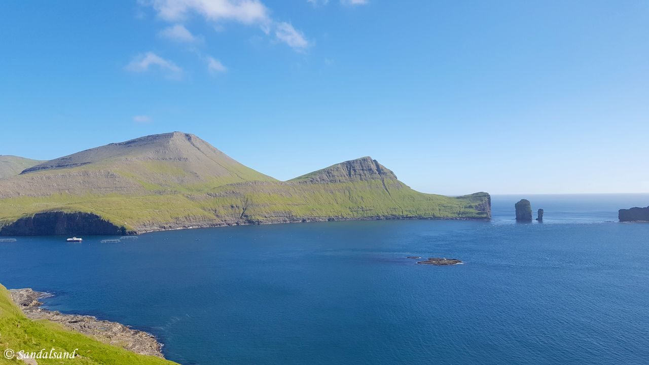
Read about attractions on Streymey and Vágar islands in the Faroes archipelago. Find dramatic cliffs and mountains, panoramic views, picturesque fishing ports and villages in every bay.
The capital of Tórshavn and the former episcopal centre at Kirkjubøur are also situated on the island of Streymey. They are presented in separate articles. We will here start in the north and work our way south, and then east to the island of Vágar. There is a map at the bottom of the article.
Saksun
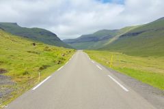
If you depart from Tórshavn be sure to take Road no. 10 across the Oyggjarvegur, for breathtaking views virtually all the way. When we reach Hvalvík we make a short stop at the third oldest wooden church on the Faroes (1829). Then we continue on Road no. 53 through the long and fertile Saksunardalur valley until we reach our first destination, Saksun.
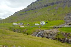
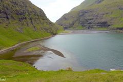
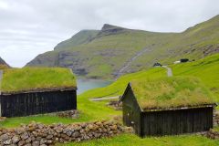
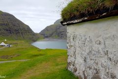
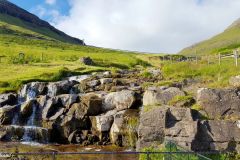
The population of about 10 lives on a couple of farms at the end of the valley. Nestled between high mountains they overlook what used to be an inlet with a deep and good natural harbour. A storm put an end to that and blocked the inlet with sand. The lagoon is filled with fresh water from a set of streams but light boats are able to get in and out on high tide. It is popular to take a walk to the sea along the lagoon called Pollurin. One has to make sure to go and return on low tide.
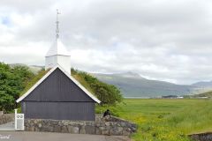
I stayed on the safe side and concentrated instead on the church (1858) and nearby buildings. I did not visit the museum, but did not fail to recognise Saksun as a place as picturesque as it gets.
Leynar
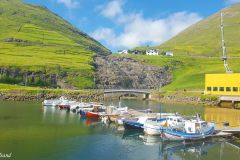
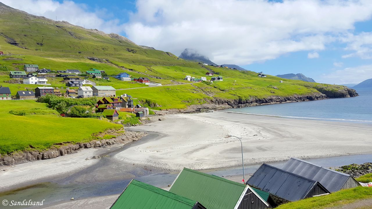
This is a small community of little more than 100 inhabitants on Streymoy’s west coast. As seen on this picture it spreads above the sandy beach called Leynasandur. The beach seems like a nice recreational area and on a bright summer day it would be perfect to go sun-bathing on. It was empty when I arrived this beautiful day in July. Swimming would probably be too cold.
There is a sub-sea tunnel across to Vágar from here, but we will continue to our next and final stops on Streymoy before we take the tunnel.
Kvívík
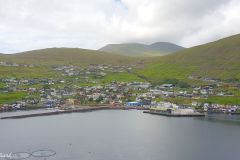
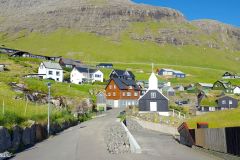
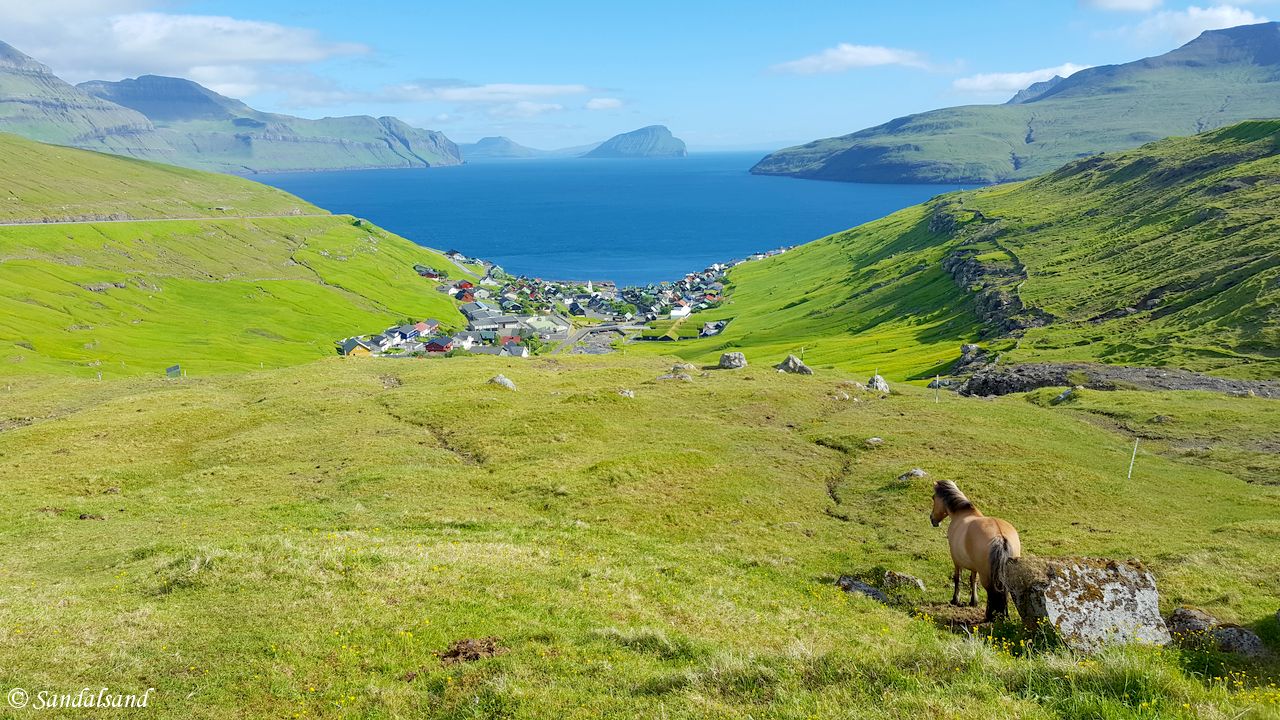
The next bay has another village (pop. 300) at the south-facing shoreline. It enjoys a near perfect setting on Streymoy’s west coast. Archaeological excavations have revealed that there was a very early settlement here, dating back to the Viking age, making Kvívík one of the oldest settlements on the Faroe Islands.
The main road does not pass through the village but it does not really matter, because this view is what you may enjoy uphill.
Vestmanna
With a population of 1200, Vestmanna is the largest of the Streymoy villages. It used to be connected with a ferry to Vágar and the airport, but the sub-sea tunnel brought an end to that in 2002. Now Vestmanna is a dead-end on the road and it does not possess the same charm as the smaller villages on the Faroe Islands.
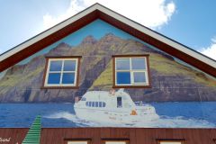
On the other hand Vestmanna is the place to go for boat trips to the bird cliffs and caves at Vestmannabjørgini. I only took a picture of the huge poster on the wall showing this tour boat, and had no time for more. In addition I had been on a similar boat trip to Hestur and Koltur two days before.
Still, the inhabitants do not make a living out of charm alone. They have their fishing industry with a modern fishing-fleet, filet factory and fish farms.
“In the beginning of the 17th century Vestmanna was pestered by pirates. In 1615 Danish warships in Vestmanna surprised three Irish pirate-ships. 27 Irish pirates were killed in the fight. 55 were drowned after the fight and 8 pirate-officers were executed by hanging.” (Source)
Sørvágur
We have now arrived at the island of Vágar through the 4,9 km long sub-sea tunnel. After passing by the only proper (and obviously international) airport on the Faroe Islands we arrive at a town at the end of a fjord, the Sørvágsfjørður. The 1000 inhabitants of Sørvágur has a large harbour and ferry service to Mykines island. There is not much to see here so we continue on Road no. 45 to a pretty little village.
Bøur
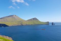
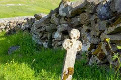
This is a really nice place. I had an evening flight out of Vágar and had timed my visit here this afternoon. The 70 inhabitants live in old wooden houses forming a nice little village split by a small stream coming down from the mountains. There is a tiny church (1865) and an even smaller cemetery next to it. Coffins from Gásadalur used to be carried over the mountain and buried here before a cemetery was established in the isolated village of Gásadalur in 1873. That is where we are going next. First this:
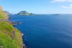
Close to Tindholmur is a rock called Eiriksboði. Tradition says that two brothers Eirik and Simon inherited all the land in Bøur As they could not agree on how to split the inheritage Eirikur decapitated his brother with an axe. After this Eirikur got absolution from the bishop in Kirkjubøur in return for high taxes to the church and a fat ox for the bishop once every year.
On his way back to Bøur Eirikur paused for a while in his boat and enjoyed the sight of the land and hills that were now his property. But due to the fact that Eirik forgot to praise the Lord for letting everything work out for him a rock suddenly emerged from the sea and overturned the boat. Eirikur fell into the sea and was drawn to the bottom where he drowned. The new rock was called ‘Eiriksboði’ which means ‘Eiriks rock’.” (Source)
Gásadalur
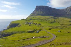
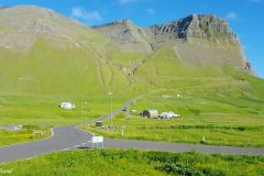
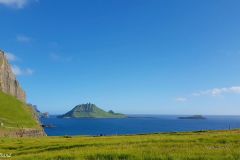
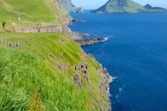
This used to be one of the most isolated and least accessible settlements on the Faroe Islands. In the old days it was thought to be founded by a lady called Gasa who used to live in Kirkjubøur but was expelled. The setting of the place is absolutely stunning. There is an open and not so deep valley, frequented be wild geese (another explanation to the name), and the Atlantic Ocean on the doorstep. That doorstep is down a vertical cliff a couple of hundred metres that was not properly accessed until 1940 when a stairway was built. This gave the opportunity to land boats here, giving proper weather conditions. Previously the locals would keep their boat in Bøur across the 400 m high mountain.
A single lane 1,4 km long tunnel was opened up in 2004 providing access for visitors, but also for the inhabitants to move elsewhere. And they have. The population is now down to around 15 people. Even the shore is inaccessible as the valley is high above. There’s no natural harbour and boat landings are very difficult. The local fishermen kept their boats in Bøur, southeast of the mountains.
It may be needless to write that Gásadalur is extraordinarily beautiful and was for me a compulsory final to my visit to the Faroe Islands.
Dwarfs?
Tradition says that a rock in Gásadalur is occupied by dwarfs. A poor peasant who had been out fetching peat came by the rock one day. The rock was open and from outside he saw that the dwarfs were forging tools inside the rock. He was curious and sneak closer to watch them. Out came a dwarf. “Cheeky were You, poor as You are, even so this knife is now Yours” it said and threw out a knife to the man. The knife was so sharp that it could cut anything regardless of how hard it was. (Source)
What to explore on the Faroes?
Explore the map below. You may zoom in and out, click the markers for some more information. I made it before going to the islands and then added more sites and attractions as my four days and nights in 2016 went by.
Lexical information about the archipelago is found on Wikipedia. Tourist information is available at Visit Faroe Islands, Faroe Islands Tourist Guide, and on international websites like Lonely Planet and Wikitravel. An introduction to all villages is found here.
This series from the Faroe Islands consists of several posts.
(1) Introduction
(2) Tórshavn, the nicest little capital in the world
(3) Medieval Faroese history at Kirkjubøur
(4) A boat trip to Hestur, Koltur and a concert in the caves
(5) Attractions on Eysteroy, Borðoy and Viðoy islands
(6) Attractions on Streymey and Vágar islands (THIS)
There is also a video from this visit in 2016.

