We are in the Democratic People’s Republic of Korea. This is the story about the road south from Pyongyang to the DMZ on the border with the Republic of Korea, or South Korea.
Read about the actual border visit in another article. It highlights visits to the DMZ, the demilitarised zone, from both sides of the border.
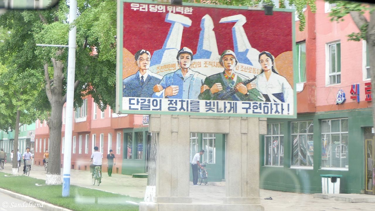
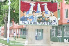
The featured image of this post, above, illustrates some basic elements of the Juche ideology as put forward by the first great leader of the country, Kim Il Sung. The tools in the background; the hammer, the pen and the sickle are all essential in building a successful and independent nation. They are also the symbols of the ruling Party. In the front an engineer (always depicted with glasses), a blue collar worker, a soldier and a woman stand hand in hand, guarding the revolution.
The road
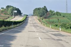
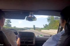
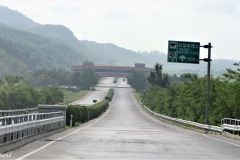
There is a network of wide motorways stretching out from Pyongyang, the North Korean capital, in all directions. I made three excursions during my visit to the country, to the west, south (this) and north. The road south consists of two lanes in both directions. It is partially paved with large concrete slabs, and also asphalt. This makes the surface quite uneven and maintenance seems to be rather lax. Bits and pieces of the concrete breaks off and results in a sometimes unpleasant driving experience.
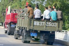
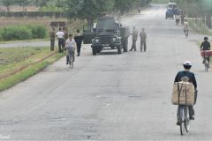
A hedge divides the motorway’s directions. Contrary to the road surface this is very well maintained. All along the motorway there would be workers tending the hedge with sickles. Labour is cheap in this country, and machinery – any kind of machinery is scarce. In general there are very few vehicles on the motorways, and children would even use it as a playground, people would be crossing it without paying attention to us passing by. I hardly saw any tractor on the fields on any of my road trips, a few places an ox would be at work. Due to the international embargo on North Korea, fuel is a scarce commodity.
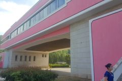
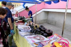
The width of the road enables the driver to drive slalom between the lanes in order the find the best patches. Nonetheless, it took us no more than three hours to reach the entrance to Demilitarized Zone, after less than 200 km on the road. We even made a stop at a resting place about halfway. The Reunification Highway Rest Stop, as it is called, looks bigger than it is. It spans the entire motorway but is open only on one side. There are a few stalls outside selling products aimed at Chinese visitors who come in big busloads. That means cigarettes and snacks. Inside there are basic toilet facilities.
The landscape
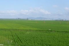
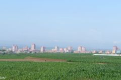
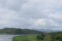
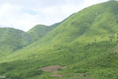
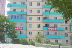
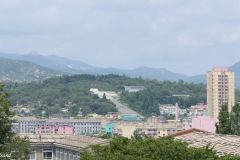
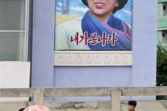
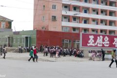
As we approach the south, the open landscape south of Pyongyang with huge rice paddies, gives way to a hilly, forested and very green scenery. We pass by small towns and villages. Apart from the road surface, this was a very interesting and nice drive. It is interesting to notice how propaganda posters pop up everywhere: Slogans and paintings.
“Traffic is what blood vessels are to man.” (Kim Jong Un Aphorisms vol. 1)
Town of Kaesong
Kaesong has a rich history and was once the capital of Korea. It was also in the midst of fighting during the Korean War and suffered heavily from it. The town currently has a population of about 200,000. Shortly after the turn of the millennium there was a detente in the relations between South and North Korea. The Kaesong Industrial Region was formed and led to the development of a number of light and medium sized industries, in cooperation with South Korea. By 2013 there were approximately 53,000 North Koreans and several hundred South Koreans employed in the industrial park. It did not last. Today, almost all factories have shut down.
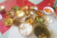
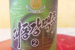
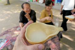
I did not make much out of Kaesong town. We passed through on our way to the border and back. However, we had lunch and I was once again treated with the great (North) Korean cuisine. As the pictures below show there is beer (very good) and all kinds of dishes served. The image shows the meal for one person, me. In fact, there would be more dishes after I took the photo.
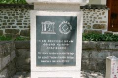
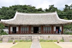
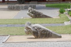
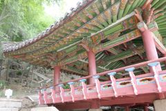
We also went to a World Heritage Site. A very old university and temple area provided a peaceful atmosphere and surroundings. There is a special article about this World Heritage Site: Historic Monuments and Sites in Kaesong.
Town of Sariwon
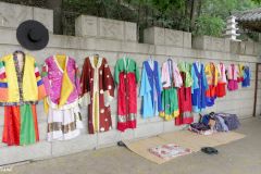
On the way back to Pyongyang we also made a detour to the town of Sariwon. The travel agency had promised what they called a Folkloric Village. There is no such village. Instead there is a mosaic wall showing the historical evolution of the Korean peninsula, with different kingdoms and rulers. This was a disappointment.
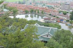
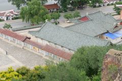
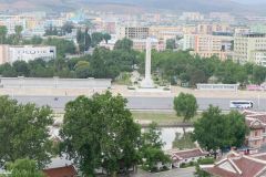
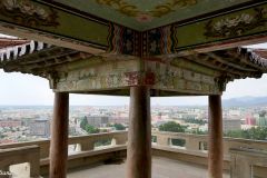
Better, behind the wall there is hill by the name of Mount Kyongnam. We climbed the several hundred steps and had a great view of the town.
“Art not related with the revolution, art for its own sake, is useless” (Kim Jong Un Aphorisms vol. 1)
Read more
Read all North Korea entries.
This is the map of my travels in the Democratic People’s Republic of Korea (DPRK), or simply North Korea. The red line on the map shows the route to the border with South Korea. This is a drive of about 350 km for the return trip. The map shows a straight route, but we made detours in Kaesong and Sariwon.

