This is about the Viste hike, one of many hikes on the coast of Jæren, Norway. The hike on grass is 3.7 km one way.
Orientation
Vistnes – Vistestranda (Randaberg): This hike from the popular sandy beach of Viste will take you on an easy trail to a Stone Age cave and a 19th century farm.
The hike from the Viste beach to Vistnesvågen is not suitable for strollers, wobbly legs or normal cyclists except between Vistestranda (bay) and Vistehola. You may easily split this trip into several smaller ones. Apart from that it is a great hike partly on a good trail, and partly on paths across fields along the seashore. I would highly recommend the detours to Vistnestunet and Vistehola. We pass several boathouses and cottages on both ends.
The mapped trip is 3.7 km one way and will take you an hour or so to walk if you skip the detours. This strip of the Jæren coastline is not part of the Jærstrendene Protected Landscape Area.
This article presents one of many hikes on the coast of Jæren, Norway. Get an overview and browse the rest here. Check out the map details on this link.
What to see
Viste bay and sandy beach
At Viste bay we find ample parking and bus services as well. One may find something to eat at the Viste beach hotel but many bring along their own food for a picnic on the beach. The hotel at Viste Beach has been here since 1934. It was then called a Sjøbad (Sea Bath) and provided a resting place for visiting English seaside tourists.
Vistehola
As we hit the easy trail in a westward direction we pass by a WW2 bunker, a small sandy beach and a small boat harbour. A hundred metres further on we make a signposted small detour up the hill to Vistehola. It is called a cave but is nowhere near such a phrase really. In any case, it is as the best-known Stone Age settlement in Norway. This “Black Hole” as it is known locally provided shelter for one or more extended families in the mesolithic era, between 6,700 and 8,900 years ago.
These dwellers were among the first Norwegians ever. There has been human habitation in the Jæren area for at least 11,000 years, possibly migrants crossing on dry land what is now known as the North Sea – following the receding ice cap that had covered the northern hemisphere during the latest ice age. A skeleton of a young man “Vistegutten” was found under layers of dirt inside the cave. His skull provided the basis of a reconstruction effort, as seen in this article.
I might add that Vistehola has a road running by, and a parking lot, so it can be visited independently of the beach hike.
Along the seashore to Vistnesvågen
After Vistehola we walk back down to the shore to continue our hike. At this point it is no use having baby strollers. There are three farms along this hike. Viste and Vistnes at each end, and Raustein in the middle.
When we hit the trail leading up to the old farm of Vistnestunet we encounter a “unicorn”, one of the wild sheep walking quite freely out here. Watch the video below. We’re going up there, but only after paying a visit at Vistnesvågen harbour.
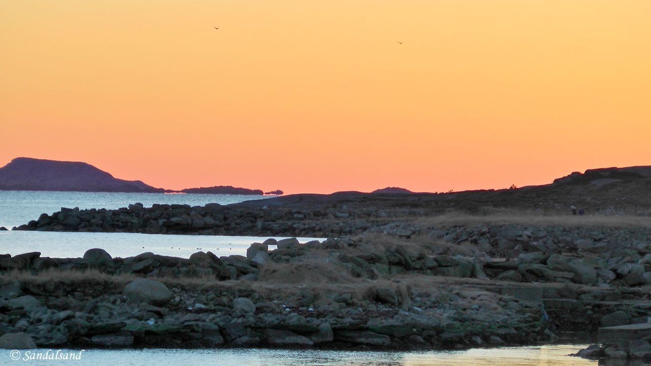
Out here we find a number of signposts, as part of an “educational circular track.” We cross through a little grove on the way to Vistnesvågen. The views are very nice around here. Across the large bay we are able to see Smiodden and the Kvernevik Ring trail described in another blog entry, and video.
Vistnesvågen is a beautiful little place, surrounded by boathouses on the shore and cottages behind. It is difficult to find public parking here, and the only official lot is at Vistnestunet.
Vistnestunet
Here we find a small farm from around 1875 with a traditional Jæren farmhouse, a cookinghouse, a barn, and a wind machine. In the summer we find more animals than those we met this afternoon in March.
The house has furniture and objects from various periods, donated by residents of the district. The cookinghouse was constructed from granite early in the 20th century, while the stave barn was built in 1874. Being a museum Vistnestunet have guided tours in the summer season.
The yard is built in the traditional Jæren way: farmhouse with small sheds at the ends, an entrance in the middle and a few windows on the sides of the long wall. The barn is located in the lee of the farmhouse, sparing it from the cold westerly wind, and almost without windows.
Video from this hike from Viste bay to Vistnesvågen. View from inside the Vistehola cave.

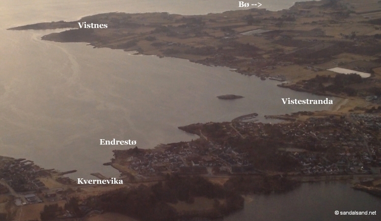
This picture shows the hikes in the area around Viste. The Viste hike is in the middle. To the north is the hike from Vistnes to Bø, to the south the hike at Endrestø and on to Kvernevika. See links below.
Further reading
This article presents one of many hikes on the coast of Jæren, Norway. Get an overview here. The hikes and corresponding articles are sorted in a north to south order. The adjacent hikes are:
North: South: Bø – Vistnes (Randaberg): This is a varied and wonderful hike, at times not very easy jumping from rock to rock. Large boulders, heathers and grassland, a WW2 fort, old boathouses, picturesque farms and cottages. This hike has it all. At Vistnes the conservation area stops for some kilometres, only to be resumed at Kolnes. (6.4 km)
South: Vistestranda – Endrestø – Kvernevik (Randaberg): A short and easy hike on a good road between Viste beach and Kvernevik. To make it less easy, check out the rocky scenery at Endrestø. (1.4 km)
Valuable reading in Norwegian from the municipality of Randaberg about walks and cultural assets. “Langs kysten i Randaberg” is an information folder in Norwegian from the municipality. It is available in pdf-format.

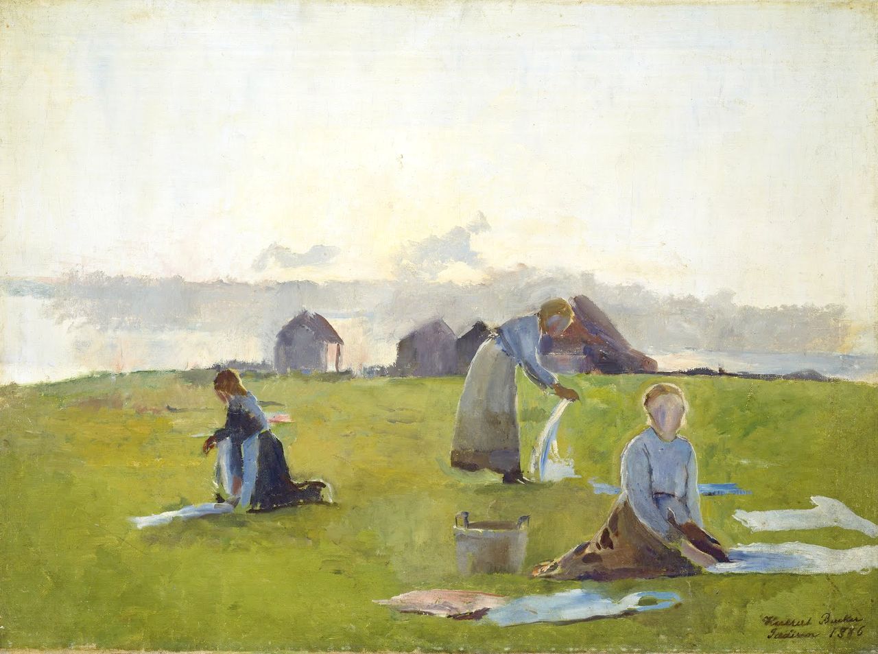
Harriet Backer (1845-1932) – On the Bleaching Ground (1886) (Source: Wikimedia Commons)
Read more in my special article about Jæren’s geology, flora, fauna, history, people and art: Jæren – The coastline explained.
Les om strandturene på Jæren på “Sandalsand Norge”


