Intro
Countries
Photos
Blog
Facts
Overall impressions
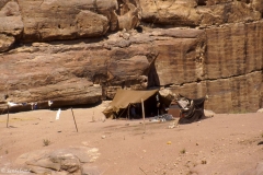
This image is from a distinct part of the Middle East and Africa. A group of men in traditional Arab attire had crossed a bridge over the River Euphrates. This was in the eastern Syrian town of Deir-es-Zor. Only minutes before, I had checked into a rather modest hotel room across the street.
Looking out the window, I could not resist the opportunity to take this photograph. There is nothing in particular going on and there are no telling surroundings. Yet, this picture symbolises a good deal to me if I generalise it to a regional context. Proud and traditional peoples with a very long history inhabit this region. They have strong religious sentiments. Besides, it’s a man’s world.
The Middle East and North Africa consists for the most part of Muslim countries. There are also large and important groups of Jews and Christians. In geopolitical terms, this region has for the last few decades been at the centre of the world’s focus. It contains some important root causes of much of the world’s disorder. For one thing this is due to the Israeli-Arab conflict. Second, the rich petroleum resources are of vital interest to the rest of the world.
Up until recently I have not had many impressions from the rest of this region, Africa. That has now changed as I have started to explore Africa south of the Sahara. Have a look at the map below.
Countries
Algeria | Angola | Benin | Burkina Faso | Burundi | Cameroon | Cape Verde | Central African Republic | Chad | Comoros | Congo R | Congo DR | Djibouti | Equatorial Guinea | Eritrea | Ethiopia | Gabon | Gambia | Ghana | Guinea | Guinea-Bissau | Iran | Iraq | Ivory Coast | Kenya | Kuwait | Lebanon | Lesotho | Liberia | Libya | Madagascar | Malawi | Mali | Mauritania | Mauritius | Mozambique | Niger | Nigeria | Oman | Rwanda | São Tomé and Príncipe | Senegal | Seychelles | Sierra Leone | Somalia | South Sudan | Sudan | Swaziland | Tanzania | Togo | Tunisia | Uganda | Yemen
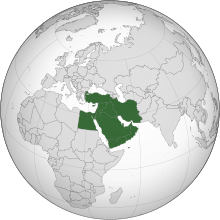
The Middle East consists of 17 countries, or 16 if one omits Palestine. They stretch from Türkiye (formerly Turkey) in the north and west, to Iran in the east, and also south on the Arabian Peninsula.
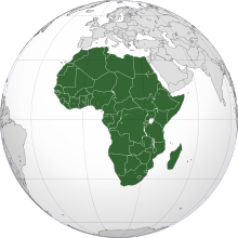
In Africa there are 54 independent countries and 10 non-sovereign territories.
As the map shows, I have been to very few. That is why I chose to split the country list above into the have-beens and not. In all I have made it to 16 independent countries out of 71.
One final note. I have for practical purposes grouped the Middle East and Africa into one region. It is not a coherent territory. Africa is a continent, but the Middle East is part of Asia.
However, the Middle East has very much in common with North Africa for many reasons (cultural, ethnic, religious, historical, economic etc.).
Sub-Saharan Africa differs in most respects. Read the fact sheet below.

Map of Middle East and Africa. Sandalsand has been to countries marked with a green colour, not the yellow ones. (Derived from: Wikimedia Creative Commons Attribution-Share Alike 3.0 Unported)
Photo galleries
Open the box to view picture galleries from Sandalsand’s travels in this region.
Click to show or hide
Tip: Open a picture galleries in a new tab or window.


Posts from the Middle East and Africa
Nature: 8 Dry Deserts
Have a look at this selection of 8 dry deserts. The Earth's surface is predominantly wet, covered by water. Some areas are on the other hand...
12 more European city breaks
This is a list of 12 more European city breaks. It continues the previous list of 10 European city breaks. The list is purely alphabetical, and you...

Nature: 7 Strange Rock Formations
What do I mean by 7 strange rock formations? Well, the Earth’s surface is full of loose stones and boulders and solid rocks. Some have over the...

Nature: 10 Great Caves
A cave is a hollow place in the ground, often very deep but also quite small like a grotto. Here is a nice selection av 10 great caves. This...
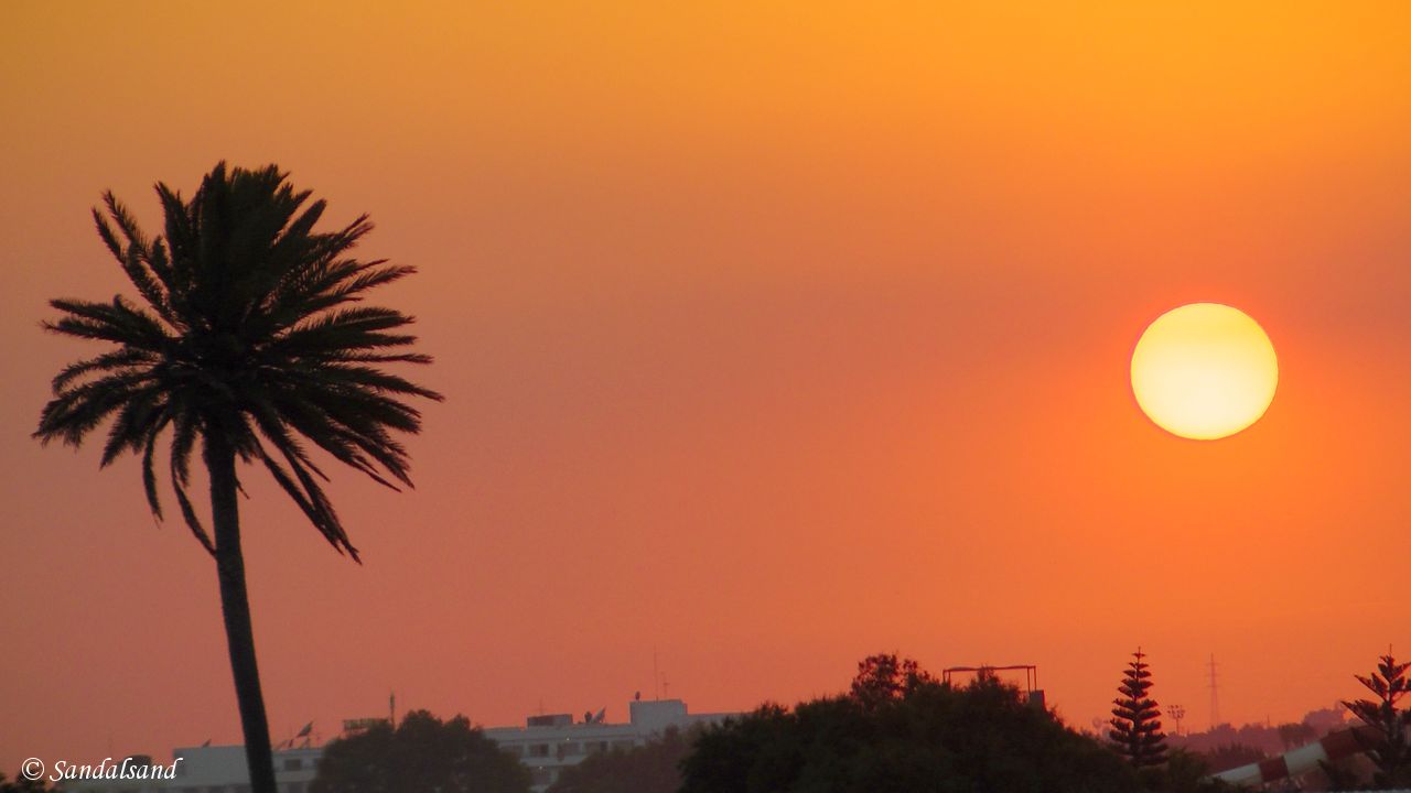
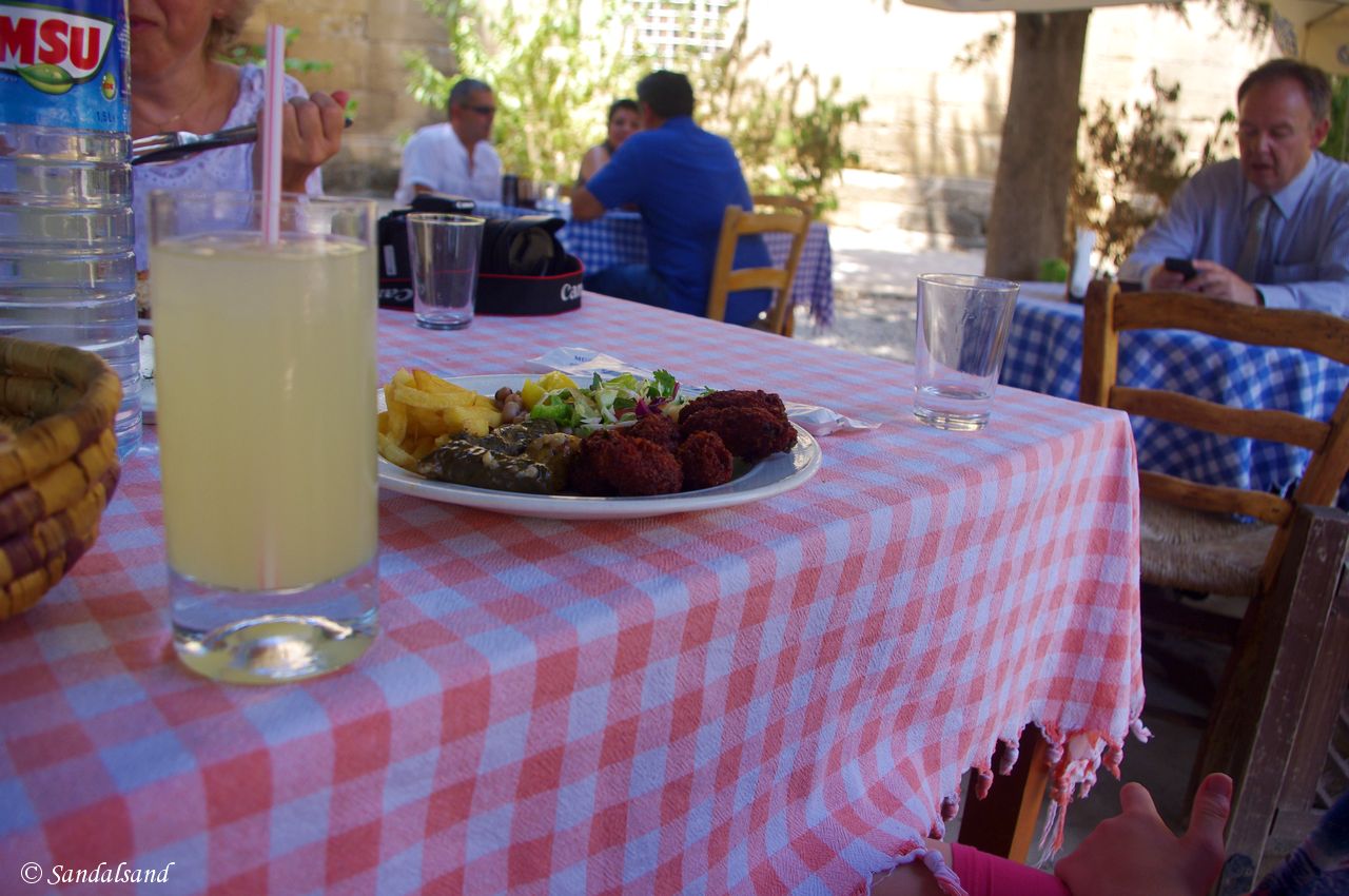
Pictures from Cyprus
This is a collection of pictures from Cyprus, north and south. They are the result of a trip in 2014 to the coast and inland. Find all Cyprus...
The capital of Cyprus, Nicosia – north and south
On our daytrip into northern Cyprus we left Salamis on the east coast for a long drive across the flat plain into the capital of Cyprus, Nicosia....
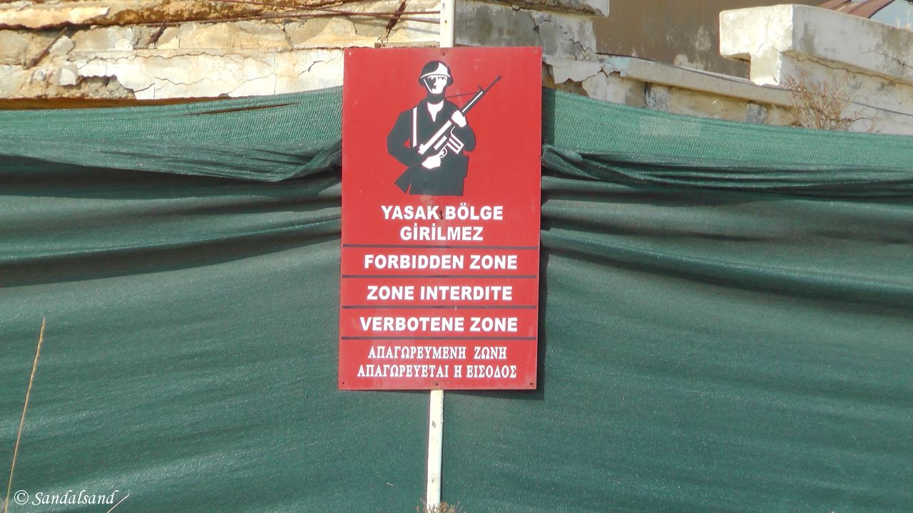
Famagusta and Salamis in Northern Cyprus
We had decided to pay a visit to northern Cyprus. Thanks to the war 40 years ago that objective is not an easy one to accomplish. We went on a day...
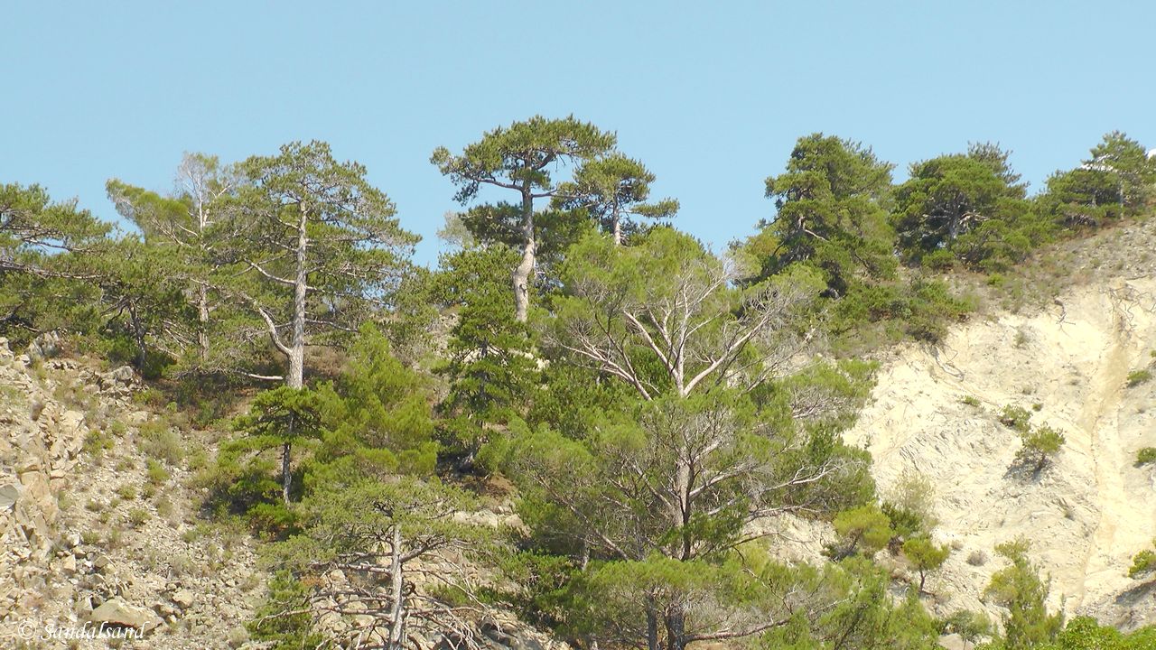
A day trip into the Troodos mountains of Cyprus
The Troodos mountains offer a fine alternative or addition to your ordinary beach vacation in Cyprus. We were hunting nice scenery, traditional...

World Heritage #0351 – Troodos churches
The remote and little accessible mountainous Troodos interior of Cyprus hides ten churches. They are all modest on the outside, but with beautiful...
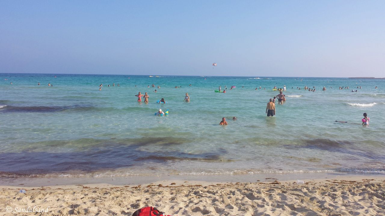
The easy life on the beaches of Ayia Napa, Cyprus
For a large number of visitors to Ayia Napa only one thing counts: “Living la vida loca”. To Europeans the island of Cyprus in the eastern...

Iron Wheels (1) Exciting train journeys
This is an introduction to exciting train journeys. I have registered my travels on a world map and the distance travelled on trains has been...
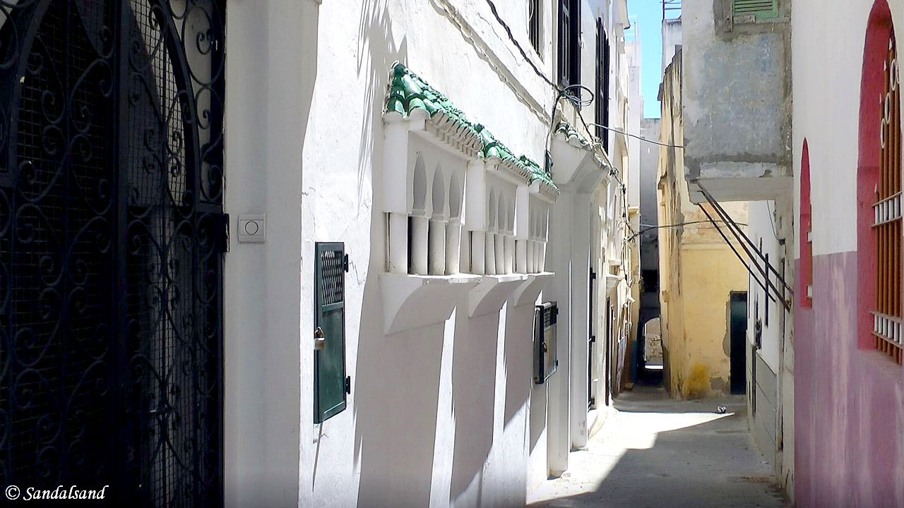
Pictures from Morocco
This is a collection of pictures from Morocco, the result of a day trip to the port city of Tangier in the north. So far. If you look up my articles...

VIDEO – Morocco – Tangier
This video from Tangier is the result of a day-trip across the Strait of Gibraltar from Spain. It contains photographs and video clips from the...

A day trip to Tangier from Spain
On this Day 4 of a road trip in Andalusia we went on a daytrip from Jerez to Tarifa and across the Strait of Gibraltar to Tangier, Morocco. The...

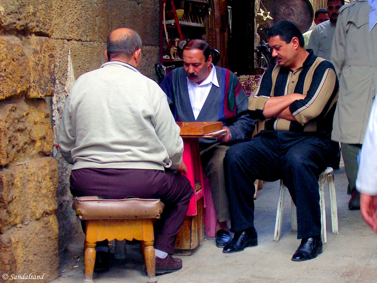
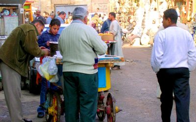
Pictures from Egypt
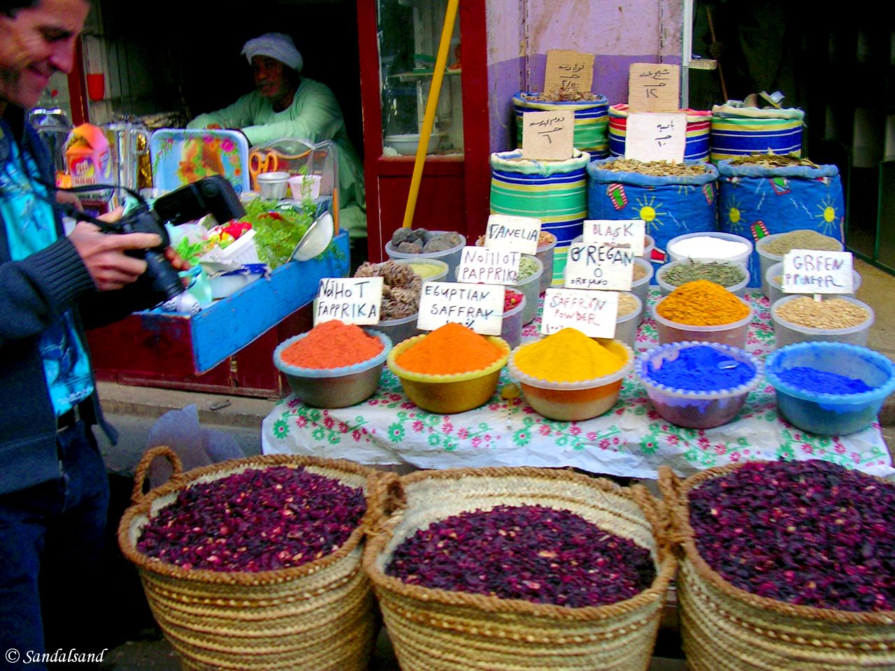
This is a collection of pictures from Egypt, the result of a trip in 2005 to different parts of the country. If you look up all articles from...
Back in Cairo for more
Back in Cairo after the cruise on the Nile, for a last round of sightseeing - this time to sites not originating in Ancient Egypt. This article is...
VIDEO – Egypt – The Nile (10) Cairo
This video from Cairo is the tenth video from a cruise on the Nile from Aswan to Luxor. "Historic Cairo" is on UNESCO's World Heritage List. The...
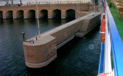
VIDEO – Egypt – The Nile (8) Luxor today
This video from Luxor today is the eighth video from a cruise on the Nile from Aswan to Luxor. The stops: Aswan - Kom Ombo - Edfu - Esna - Luxor....

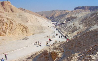
Luxor’s palaces and the Valley of the Kings
We were on a tour of the Nile and went on to visit Luxor, the Valley of the Kings, and the temples of Karnak and Luxor. This article is one of four...

VIDEO – Egypt – The Nile (7) Luxor Temple
This video from Luxor Temple is the seventh video from a cruise on the Nile from Aswan to Luxor. The stops: Aswan - Kom Ombo - Edfu - Esna - Luxor....

VIDEO – Egypt – The Nile (6) Karnak
This video from the Karnak temple is the sixth video from a cruise on the Nile from Aswan to Luxor. The stops: Aswan - Kom Ombo - Edfu - Esna -...
VIDEO – Egypt – The Nile (5) Valley of the Kings
This video from the Valley of the Kings is the fifth from a cruise on the Nile from Aswan to Luxor. The stops: Aswan - Kom Ombo - Edfu - Esna -...
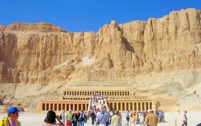
World Heritage #0087 – Ancient Thebes
Have you ever wished to visit the tomb of Tutankhamun? You can do that here at the ancient Thebes with its Necropolis, outside Luxor. The UNESCO...
VIDEO – Egypt – The Nile (4) Esna
This video from Esna is the fourth video from a cruise on the Nile from Aswan to Luxor. The stops: Aswan - Kom Ombo - Edfu - Esna - Luxor. Esna is...
Let me tell you something that we Israelis have against Moses. He took us 40 years through the desert in order to bring us to the one spot in the Middle East that has no oil! (Golda Meir)
A fact sheet
This is from Wikipedia’s introduction to the two regions I have combined on this page.
The Middle East
Map and numbers
- Region: Middle East
- Area: 7,207,575 km2
- Population: 371 million (2010)
- Countries: 18 countries plus a few dependencies and disputed territories
- Languages: ~60 languages
Geography and demography
The Middle East refers to the region spanning the Levant, Arabian Peninsula, Anatolia (including modern Turkey and Cyprus), Egypt, Iran and Iraq. This term replaced the Near East (as opposed to the Far East) in the early 20th century.
The history of the Middle East dates back to ancient times. The geopolitical importance of the region has been recognized for millennia. Several major religions have their origins in the Middle East, including Judaism, Christianity, and Islam. Arabs constitute the main socioethnic grouping in the region. Others include Turks, Persians, Kurds, Azeris, Copts, Jews, Assyrians, Iraqi Turkmen, and Greek Cypriots.
The Middle East has a hot, arid climate, especially in the Peninsula and Egyptian regions. Several major rivers provide irrigation to support agriculture in limited areas. The most important rivers are the Nile Delta in Egypt, the Tigris and Euphrates watersheds of Mesopotamia (Iraq, Kuwait, and eastern Syria), as well as the Fertile Crescent.
Most of the countries that border the Persian Gulf have vast reserves of petroleum.
Other concepts of the region exist too. One is the broader Middle East and North Africa (MENA), which includes states of the Maghreb and Sudan. Another, the “Greater Middle East”, includes parts of East Africa, Afghanistan, Pakistan, and sometimes the South Caucasus and Central Asia.
Africa
Map and numbers
- Region: Africa
- Area: 30,370,000 km2
- Population: 1,275,920,972 (2018)
- Population density: 36.4/km2
- Nominal GDP: $2.19 trillion (2021)
- PPP GDP: $6.84 trillion (2021)
- Per capita GDP: $1,860 (2021)
- Demonym: African
- Countries: 54 (and 2 disputed)
- Dependencies: External (5), Internal (6)
Geography
Africa is the world’s second-largest and second-most populous continent, after Asia in both cases. At about 30.3 million km2 including adjacent islands, it covers 6% of Earth’s total surface area and 20% of its land area. With 1.3 billion people as of 2018, it accounts for about 16% of the world’s human population. The continent is surrounded by the Mediterranean Sea to the north, the Isthmus of Suez and the Red Sea to the northeast, the Indian Ocean to the southeast and the Atlantic Ocean to the west.
The continent includes Madagascar and various archipelagos. It contains 54 recognised sovereign states (countries), eight territories and two de facto independent states with limited or no recognition.
Africa straddles the equator and the prime meridian. This makes it the only continent in the world situated in all four cardinal hemispheres. It is the only continent to stretch from the northern temperate to southern temperate zones. The majority of the continent and its countries are in the Northern Hemisphere.
Demography and history
Africa’s population is the youngest amongst all the continents. The median age in 2012 was 19.7, when the worldwide median age was 30.4.
Africa, particularly Eastern Africa, is widely accepted as the place of origin of humans and the Hominidae clade (great apes).
Early human civilisations, such as Ancient Egypt and Carthage emerged in North Africa. Due to a long and complex history of civilisations, migration and trade, Africa hosts a large diversity of ethnic groups, cultures and languages.
In the late 19th century, European countries colonised almost all of Africa. They extracted resources from the continent and exploited local communities. Most present states in Africa emerged from a process of decolonisation in the 20th century.
Source
Wikipedia on a Creative Commons Attribution-ShareAlike License. Date: 2022-03-09.