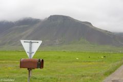
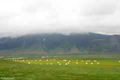
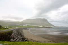
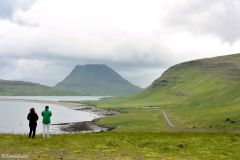
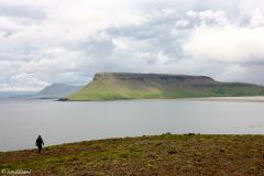
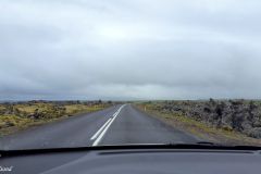
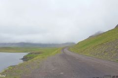
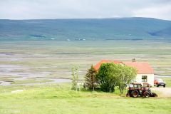
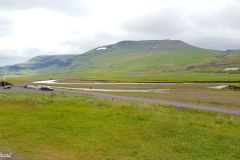
I wanted to see rural Iceland, the desolate, moon-like landscape, with dramatic cliffs, remote farms and small fishing ports. I found it: Compared to many itineraries I have seen, what stands out is the Snæfellsnes peninsula. It was recommended by colleagues, including an Icelander, and it was feasible.
There is a map at the bottom of this page and you are advised to spend some time with it to get acquainted with my route. I made this a two-day tour in a self-driven rented vehicle out of Reykjavik and back, staying one night in a hotel on the way. It is however advisable to spend at least one more day on the road, to visit even more attractions or even to relax in between all the attractions I managed to squeeze in.
This article describes places along my route, most of which I stopped at. There is also a section indicating places I singled out before arriving here, and during my stay, but did not find time to stop at. Apart from the map, there is also a list of other articles from Iceland at the bottom.
What I saw
Akranes
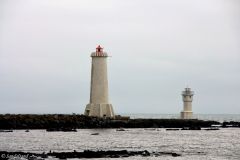
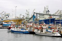
My first stop was at Akranes, the second largest town after Reykjavik in this part of the country. It is a busy fishing port and boasts a nice sandy beach (Langisandur) and two picturesque lighthouses. Apart from that the town did not offer much, as a matter of fact the rural scenery outside the town proved much more fascinating.
Akranes is only 50 km from Reykjavik, but from here it was a quite long haul until my next stop.
Ytri Tunga Beach
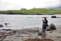
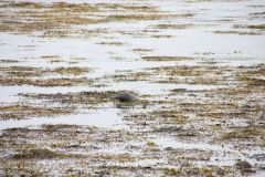
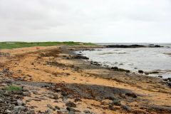
Ytri Tunga Beach was a needed and inspirational place to get out of the car for a short walk along the beach. The sandy beach with the black rocks scattered around is worth a look in its own right, but most people stop here to see if they can spot any seals. The beach is the home of a seal colony, best seen in June and July. I came in late June but spotted only a couple of them.
By now I was driving westwards on the Snæfellsnes peninsula. My intention was to go around it all the way. A colleague of mine had also recommended a scenic mountain road (no 54) across the peninsula. I have marked it on the map but saw no opportunity to test it given my tight schedule. There is also another road, no 56, to the east, crossing the mountains.
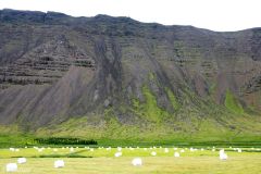
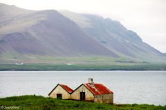
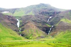
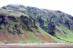
Basically Snæfellsnes is made up of a mountainous interior and a low-lying flat strip of land on the outer edges. The tip of the peninsula is dominated by the majestic Snæfellsjökull mountain, with a summit covered by snow year-round. The name translates to Snow Mountain in English by the way. Part of the land near the sea seems fit for agriculture, and there are farms here and there. I did however not notice much active agriculture, nor livestock.
Búdir
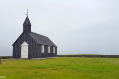
Anyway, my next stop was not far away. The small chapel called Búðakirkja is right next to Hotel Búdir both approached by a minor road zigzagging across a lava field (not active!). This hotel was highly recommended by many back home. It is a quite modest building but the setting, service and food is supreme. There are also marked paths from here and along the coast.
Arnarstapi
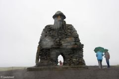
I dropped the hikes and went straight to my next set of attractions on the Snæfellsnes peninsula. Arnarstapi is a small village with an even smaller port. It used to be an important trading post. There is strange statue called the Bárðar Saga Snæfellsáss Statue. It is a made of rocks stacked up to resemble a man, said to be inspired by the saga about Bard the Snowfell God. (Funny thing is that the old Norse name of Bárðr is the same as mine.)
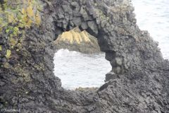
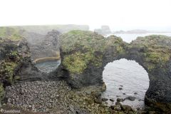
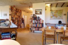
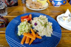
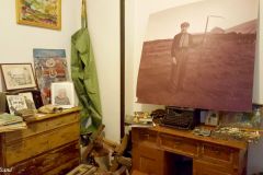
If you park your car here you will find a wooden walkway right behind it leading down to Gatklettur. This arched rock is the most prominent sight of a most impressive cliff area. I was in for even more of those cliffs, after lunch. In the village there is an obscure community house not revealing much from the outside but a small sign offering food. I went in and fell in love with the place. The small restaurant serving hot meals, is also a community centre and tiny museum. The interior is so basic, so natural and so lovely that I would recommend it very much. Don’t expect fine cuisine, do expect decent, basic, tasty Icelandic food and good service.
Londrangar
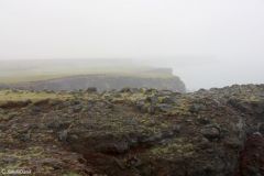
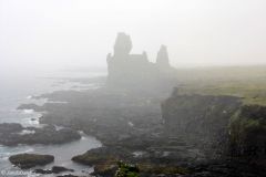
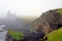
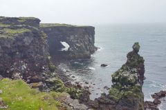
After lunch I was hungry for more cliffs and found them at the Londrangar Basalt Cliffs. With a name that sounds as if it belongs to Tolkien’s Lord of the Rings, and on a grey misty day, this was a place out of this world. We find the cliffs from a public parking space and a hike towards the sea. From there you can continue on foot as far as you want. This is actually the edge of a volcanic crater and now a place to stop, enjoy the views, watch the sea birds nesting in the vertical cliff face and open all your senses to the smells, the sounds and the views in front of you.
My next planned stop was at the Vatnshellir Cave. Here they offer guided tours into the cave, a former lava tube, all year round. I had read several places that this is a prominent attraction on the Snæfellsnes peninsula, but arriving there I decided to drop it. It would consume too much of my available time so I drove on.
Svörtuloft
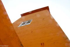
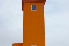
Instead I continued to a place were very few go on the Snæfellsnes peninsula, the Svörtuloft Lighthouse. There is something about the Icelanders and their lighthouses. They are a seafaring people in an arctic climate so finding your way back home, or to a safe port, could be a matter of life or death. There is a large number of lighthouses around the island of course, and having a coastline so dramatic the setting of the lighthouses are often very attractive to the casual visitor – like me. I had a couple of days before visited the Reykjanesviti lighthouse south of Reykjavik and also earlier this day the twin towers of Akranes.
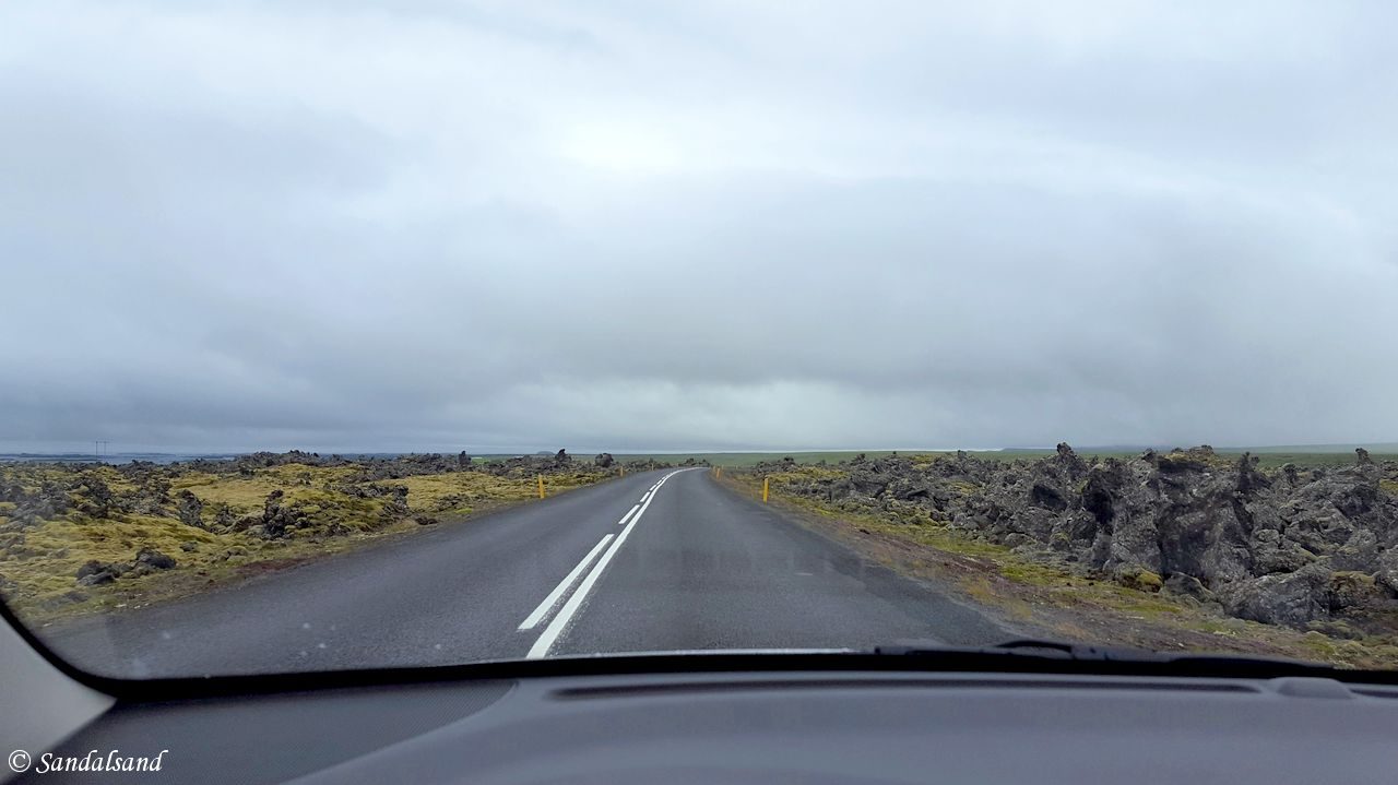
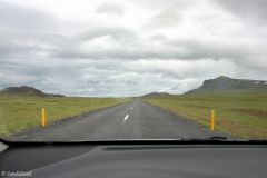
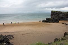
Svörtuloft proved a challenge. My small rented car was not really fit for off-road driving, in fact I was warned against it. However I couldn’t resist the challenge so I left the main road and continued on a narrow, bumpy road to the far end of the peninsula and actually to the far west of Iceland. Everything was volcanic. The road was volcanic dust and gravel, the surroundings were volcanic rocks and whatever. The lighthouse was a luring orange coloured brick structure in the far distance. This was exciting, driving in 10 or 20 km/h, past secluded sandy coves by the sea until the very far end. What a wonderful place.
Hellisandur and Rif
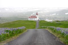
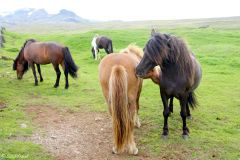
I managed to return to the main road without any harm to my car. After this I passed to the north side of the peninsula. The town of Hellisandur came up and went by and so did its neighbouring town of Rif. Instead I paid a visit to a church called Ingjaldshólskirkja located in between them. The church is not old (1903) but there has been churches here back to the 1300s. In fact, Christopher Columbus is said to having spent the winter here in 1477. Apart from that, the church holds a spectacular location several hundred metres inland, reachable by a road across beautiful meadows of flowering lupins. The scenery is nothing short of spectacular, with the towering Snæfellsjökull making up the background. I noticed several hikers around and Icelandic horses were grazing right outside the fence around the church.
Olafsvik and Kirkjufell
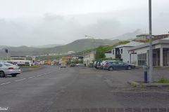
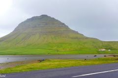
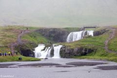
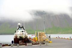
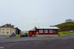
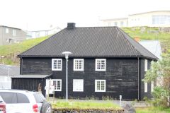
There are more fishing towns on this northern part of the Snæfellsnes peninsula. Coming up first was Olafsvik and then Grundarfjörður. I turned the wheel into both city centres and I had booked a hotel in the latter. There is not really much to see in these towns, a remark which may sound impolite. However I must state that these small towns are not made to accommodate tourists, they are manifestations of what life on Iceland has been about for centuries: Fishing. The main attraction between the two towns is the Kirkjufell mountain and also the waterfall bearing the same name.
Grundarfjordur
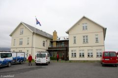
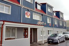
Here is what I wrote about my booked accommodation. Hotel Framnes: “A decent choice in Grundarfjordur”. Road tripping this part of Iceland does not offer plenty of opportunities for visiting restaurants or getting accommodation. I was lucky with this hotel. It is all right both as a dining place, and as place to sleep and have breakfast in. I have no complaints. It does look a bit out of date, but it is clean and quite alright. (Book it)
Stykkishólmur
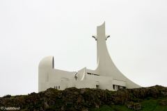
The next day on the Snæfellsnes peninsula offered hours on the road and only two stops. The first was at the town of Stykkishólmur and its unusually modern-type church simply called Stykkishólmskirkja. From here it is possible to take a ferry to the small island of Flatey and also to the vast peninsula of north-western Iceland. In my view this town is the most pleasant of all towns in the Snæfellsnes region.
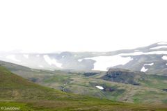
For me it was a cul-de-sac sidetrip from the main road as I continued my journey along the northern end of the peninsula. This was a quite different scenery that on the southern end. The low-lying flat part between the mountain and the sea was now more of a mix between dead lava soil and sloping hills.
Haukadalur
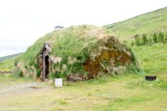
I decided to make another detour, this time to Eirik the Red’s Homestead. Eirik was born in Norway, in the same region I come from, but moved to Iceland with his parents as a young boy. His homestead in the valley of Haukadalur has been restructured. Eirik had a volatile temperament and upon killing his neighbour and a lot more he was exiled from Iceland. His most famous achievement was that he moved with his family to form the first permanent Norse settlement on Greenland. His son, Leif, discovered America.
Keflavik
After this, I had no chance but to drive straight to Keflavik International Airport for a departing evening plane. Arriving at the airport I realised I could have made more out of the day, but you never know. The following section indicates places I missed.
Places marked on the map, but not visited
There are a quite a few places I had identified before I arrived, or took a notice of during my visit to Iceland. Some of them will have to wait till the next time I make it to Iceland. Here they are:
- Flatey – a world apart on a small island north of Stykkisholmur
- Vidgelmir Cave – the largest known lava cave in Iceland. It’s on a detour from the main road.
- Glanni Waterfall – not a large waterfall but interesting nonetheless. Right on the main road.
- Reykholt – home of Snorri Sturluson
- Deildartunguhver – Europe’s most powerful hot spring
- Troll Water Falls – perhaps not so exciting
- Glymur – the highest waterfall in Iceland
Read more
The map below shows the places I visited (and some more) and routes I travelled on Iceland, spending four nights in the country. Open the map in a new window/tab to work on it. Tick the legend to hide/unhide attractions and routes elsewhere and concentrate on “SW Iceland Attractions” and “Other routes” (the blue line).
The series from Iceland consists of these articles:
(1) How to get the most out of four nights in Iceland
(4) The Snæfellsnes peninsula (THIS)
World Heritage Site #1152 – Thingvellir National Park

