This is about the Madland hike, one of many hikes on the coast of Jæren, Norway. The northern part, between Varhaug and Madland is one of the best hikes on the entire coastline. (8.9 km)
Orientation
Varhaug Old Cemetery – Madland – Haarr – Kvassheim (Hå): Madland and Kvassheim offer small picturesque harbours. If you are driving the coast of Jæren, Haarr is the place to stop to enjoy the pebble beach, the ocean, the waves, the wind, the sky, and the flat farming land of Jæren behind you.
This is a long hike if you intend to walk the entire distance in one go. No round trip option is available so the best alternative is to use two cars. Notice that there is no public transportation services around here. Good parking at Varhaug, Madland, Haarr and Kvassheim makes it possible to split this long hike into more convenient parts.
There is, sometimes, a small café open in the lighthouse at Kvassheim. Strollers and bicycles are not possible to bring along on this hike. On the other hand it is a quite easy walk. There are no marked paths, just follow the shore.
This article presents one of many hikes on the coast of Jæren, Norway. Get an overview and browse the rest here. Check out the map details on this link.
What to see
An old cemetery and the King’s Road
This hike starts at the Varhaug Old Cemetery with the white painted little chapel on the shore of the North Sea. This is the most scenic cemetery I have ever been to, and I have been to quite a few all over the world. The chapel (1951) has a churchbell dating back to 1791 and the cemetery has been in use since the Middle Ages.
From the cemetery we follow the well kept dirt road southwards on the “brattkant” (ridge) some metres above the boulders on the shoreline. These ridges were formed some thousand years ago when the sea level was higher than today. We pass farmed fields, grazing sheep and cattle, until we let go of the road. From here on we have to cross fences, but the fence ladders are good. The road we walked is part of the King’s Road, described in another article.
If you are prepared to jump between the large rocks closer to the shore, beware of the fences. First of all, you do not want to make trouble for the farmers by tearing down the fences. Secondly, and for your own part, be aware that some of the fences are electrified.
Husvegg
We soon reach a small wood to the left and a couple of boathouses to the right. There are more ruins of boathouses as well here at Husvegg. If you are short on time, or want to make a shorter trip, you might return to Varhaug after a break. If not, cross some more fences and pass by more boathouses until you reach the small harbour of Madland.
This is farming land, the livestock grazes wherever you walk, the grassland is easy to walk on although it can get wet. If you like, jump the boulders closer to the shore and practise your balance. Before reaching Madland harbour, this jumping becomes a necessity as you don’t want to miss taking a closer look at the wreckage thrown up on land.
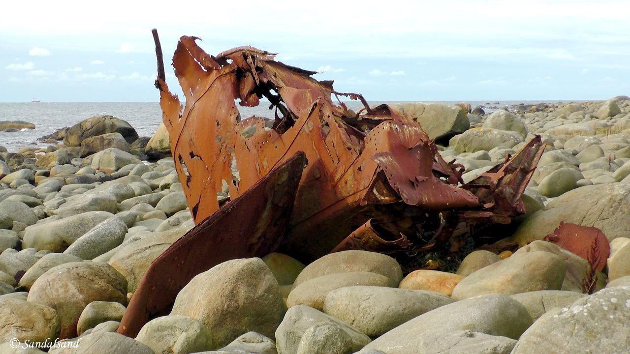
The wreckage at Madland harbour
The freezer ship “Nordfrost” capsized off the coast in 1967 and broke into pieces. The rusty bow, stern and some other parts are left on the shore here and offers some splendid photographic views.
Madland harbour is not the most photogenic of the harbours on the Jæren coastline. On the other hand, the breakwater offers a presumably safe harbour for small vessels. There are a few boathouses here as well.
From Madland to Kvassheim lighthouse
From Madland to Kvassheim my description will have to rely on secondary sources as this stretch of about 6 km is the only part of the 100+ km on the coast of Jæren I have not yet hiked. The ground is full of rocks and boulders, at some places quite boggy as well when you pass the bay of Stavnheimsvika. Here you will cross a large stone fence, or more precisely a barrier the Germans built during WW2 to stop tanks in case of an Allied invasion. You will find some very nice boathouses also, as well as the very picturesque Haarr.
Haarr is where the North Sea Route, the extremely picturesque tourist road along this shoreline, gets closest to the shore. If you are driving, be sure to make a stop here to see the waves break. On the other hand if you are lucky, the weather is really bad. If walking, cross as fast as you can and continue for the rest of the hike to Kvassheim harbour. Have a look at the wreck of a ship called “Lyngdal”, which capsized in 1955.
This harbour is really nice and you could easily spend an hour or two here and at the lighthouse. If it is open, have a look at the exhibition, have a cup of coffee, enjoy the view, and relax. There are grave mounds several places on this hike, particularly around Kvassheim.
Further reading
This article presents one of many hikes on the coast of Jæren, Norway. Get an overview here. The hikes and corresponding articles are sorted in a north to south order. The adjacent hikes are:
North: The King’s Road (Kongevegen) between Hå Old Vicarage and Varhaug Old Cemetery (Hå): The historic road from the 1600s has had royal users, but that was a long time ago. We do not find many remnants from that time. However, we find on this hike a number of other attractions, including Grødalandstunet. Enjoy the lovely cemetery (!) and visit the exhibitions at the old vicarage. (8.5 km)
South: Kvassheim – Brusand – Ogna (Hå): This is a varied hike. Kvassheim has a nice little harbour and lighthouse, and the first few km southwards are on grassland passing boulder and pebble beaches. At Brusand we walk along a very long sandy beach. At Ogna there is a distinct shift in geology – the hills mark the end of Jæren. (9.4 km)

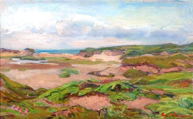
Emil Abrahamsen (1875-1963) – Landscape
Read more in my special article about Jæren’s geology, flora, fauna, history, people and art: Jæren – The coastline explained.
Les om strandturene på Jæren på “Sandalsand


